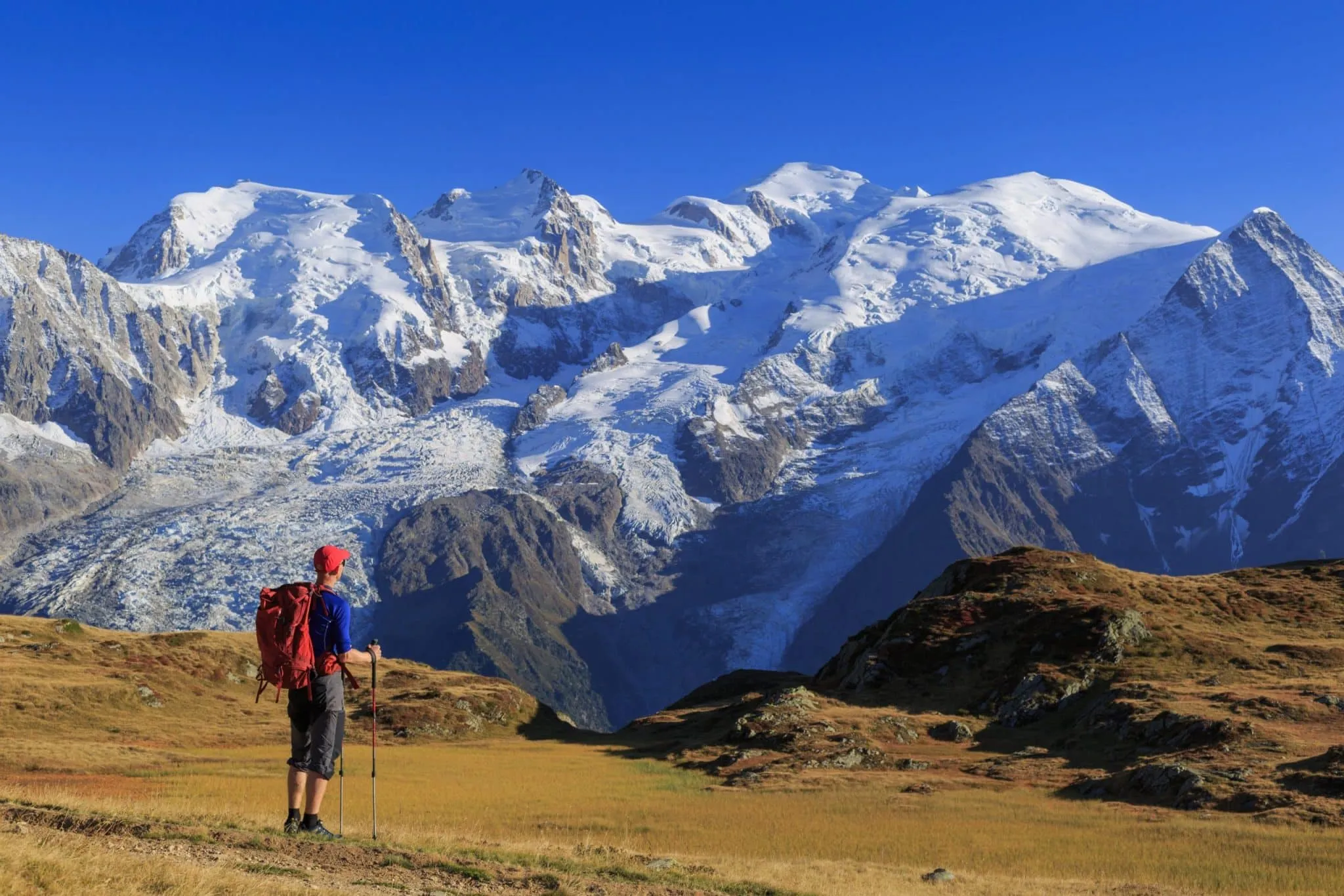
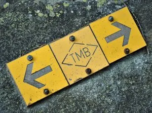
Tour du Mont Blanc på egen hånd
Fullføre den ikoniske Tour du Mont Blanc i sin helhet.
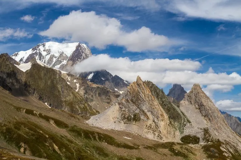
11 dagers fottur over 170 kilometer med spektakulær alpin skjønnhet
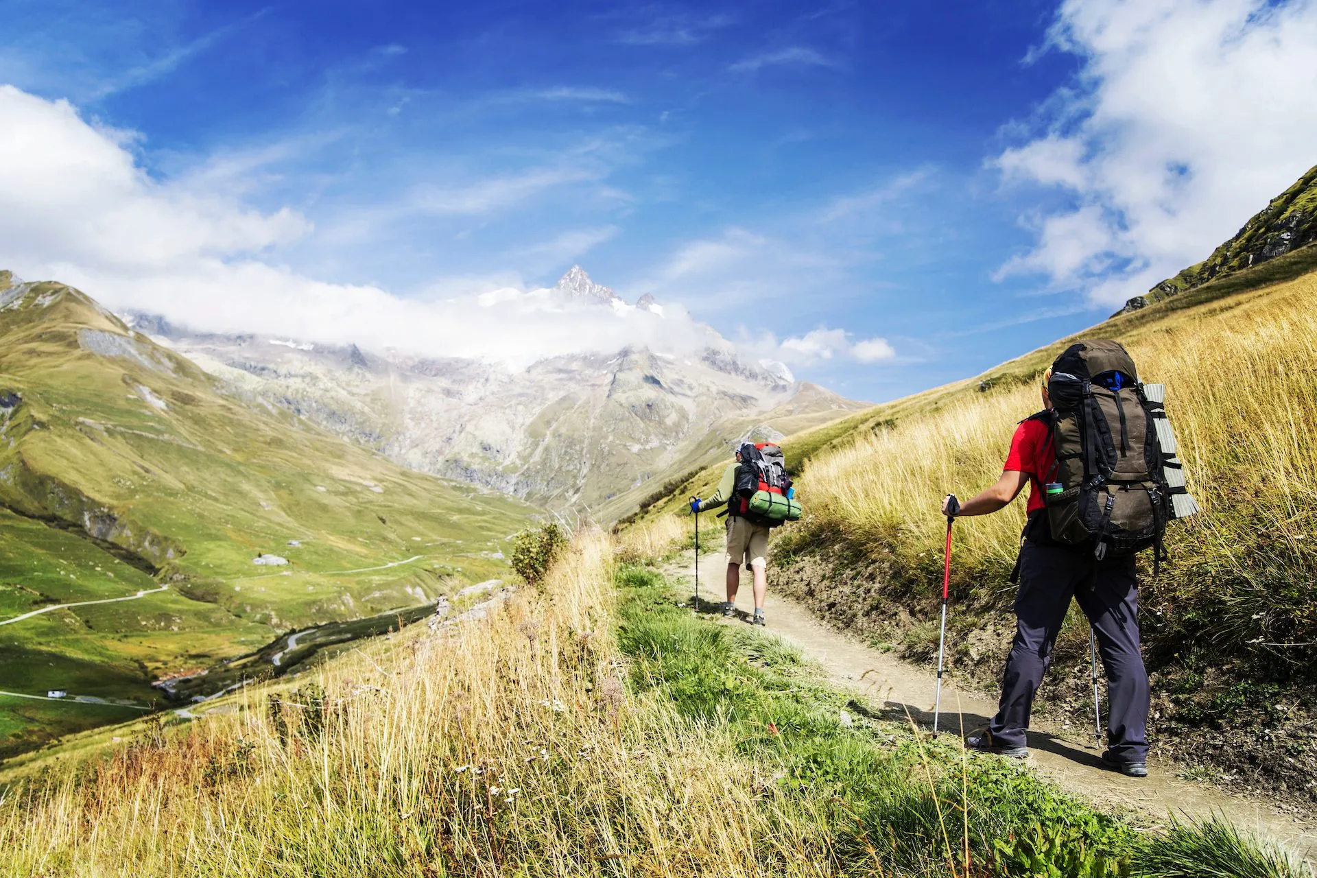
Overnatt på koselige fjellhytter og boutiquehoteller og nyt den autentiske maten.
Reis til fots gjennom tre europeiske land - Frankrike, Italia og Sveits.


Reiseplan
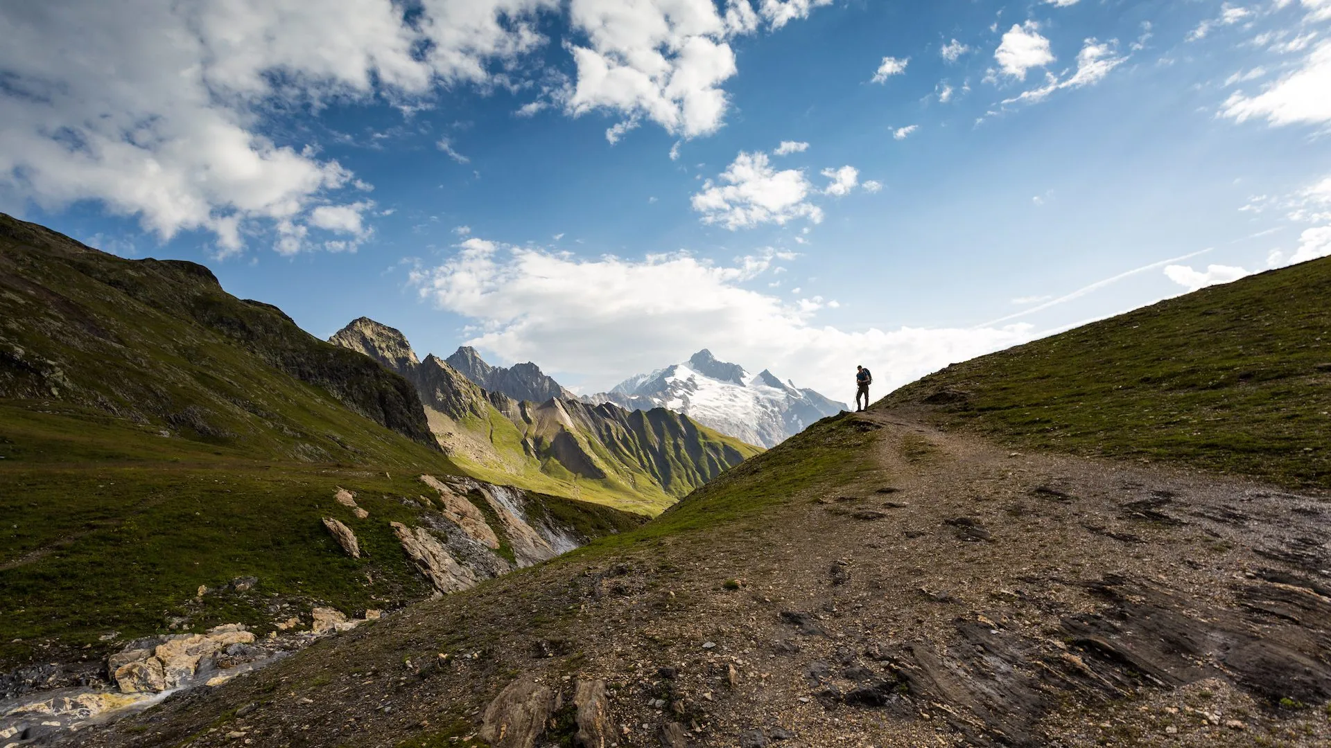
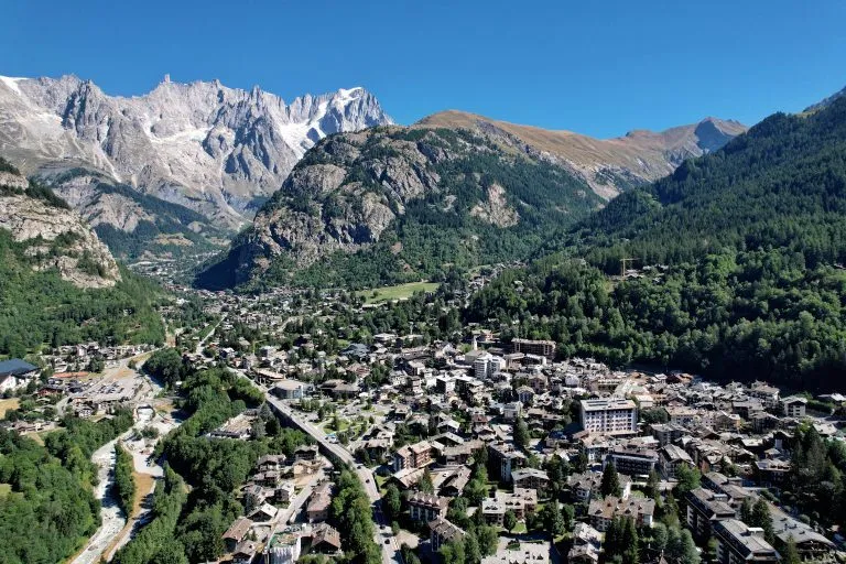
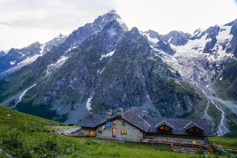
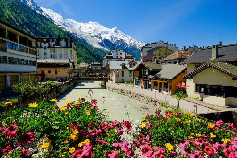
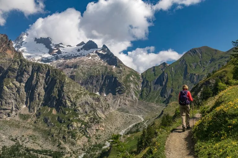
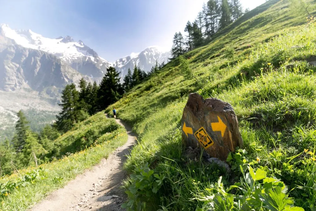
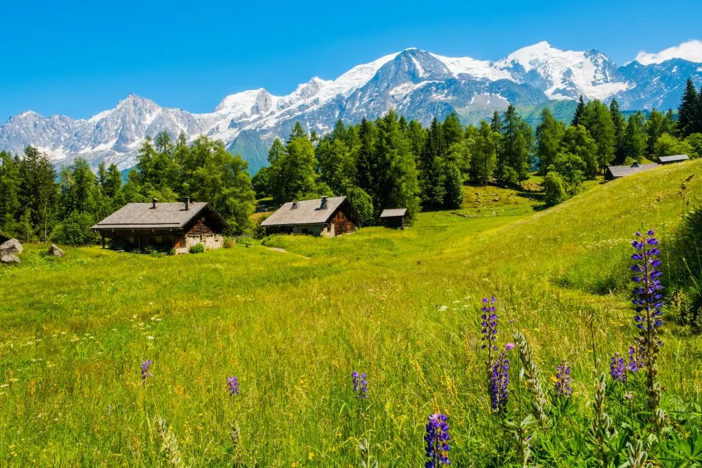
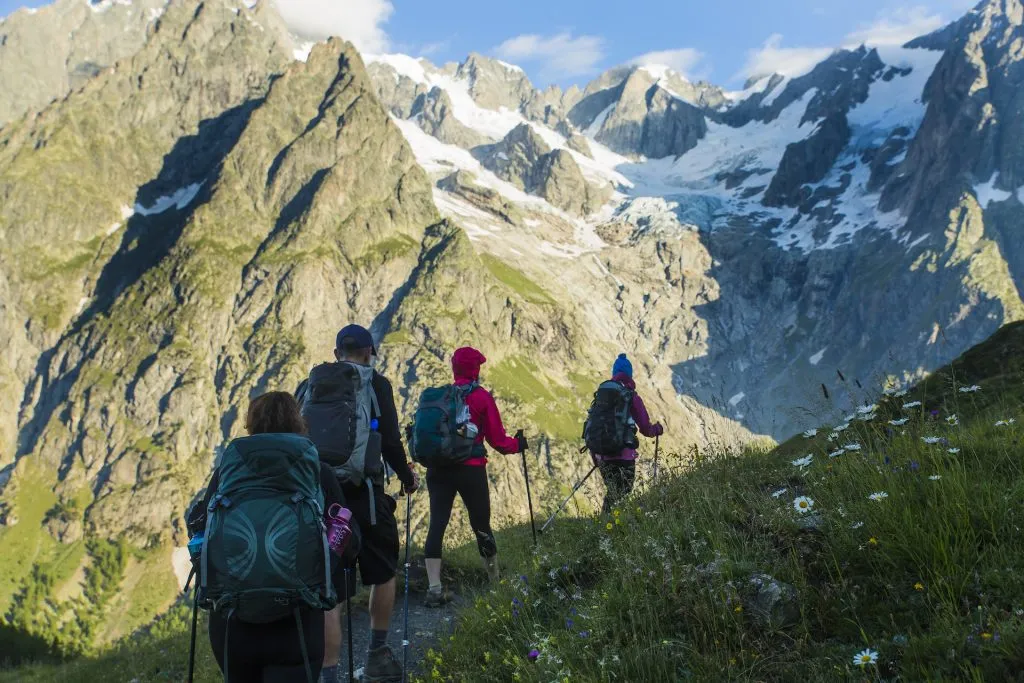
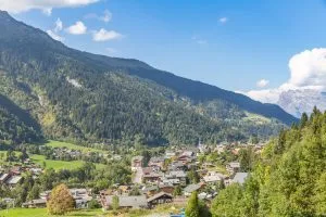
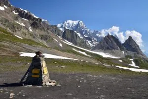
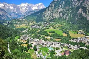
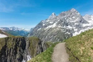
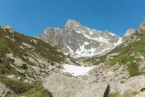
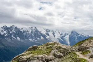
Turen begynner i byen Les Houches. Der kan du ta taubanen opp til toppen av Bellevue eller gå opp på fjellet. Derfra er det bare en kort spasertur til Col du Voza med fantastisk utsikt over Bionnassay-breen, og snart krysser du den ikoniske hengebroen i Himalaya.
Etter å ha nådd den gresskledde Col du Tricot, hvile før den bratte nedstigningen til Tilfluktssted Miage med flott utsikt over Miage-dalen og et fjellpass i horisonten i morgen. Nyt utsikten over Dômes de Miage (3600 m) før du sakte sovner inn.
Denne dagen kan gjøres enklere (men også litt mindre naturskjønn) ved å holde seg til den klassiske ruten og gå ned fra Col de Voza til Val Montjoie og deretter rett til feriestedet Val Montjoie. Les Contamines. Dette gjør også dag 2 litt kortere.
13 km; 1270 m med høydeøkning og 720 m med høydetap
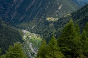
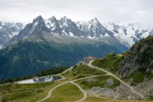
Dagen starter med en relativt kort klatretur over Auberge du Truchvor du kommer ned gjennom skogen og inn til feriestedet i landsbyen Les Contamines. Etter det kan du spasere langs elven i dalen eller ta en shuttlebuss til Notre Dame de la GorgeVi beundrer dette søte kapellet, før vi begynner å gå oppover.
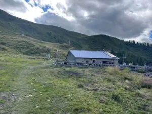
Oppstigningen tar deg opp forbi Refugium Nant Borrant (lunsjstopp), og deretter mot Col du Bonhomme. Dette er ikke den høyeste delen av dagen, for du stiger videre opp mot Col de la Croix du Bonhomme, der du finner en av de mest avsidesliggende hyttene på stien, Refuge de la Croix du Bonhomme vil vente på deg. God natt!
Alternativ dag 2:
Hvis tilgjengeligheten på hyttene tvinger oss til å velge et alternativ, overnatter dere på Refuge de la BalmeDermed sparer du 800 høydemeter til neste dag. I dette scenariet avslutter du den tredje dagen på Refuge des Mottets. Alle hyttene tilbyr et sammenlignbart komfortnivå, noe som betyr at du ikke får det verre i denne situasjonen.
18,5 km; 1550 m høydeøkning og 670 m høydetap
Alternativ (til Refuge de la Balme):
12,7 km; 740 m høydeøkning og 600 m høydetap
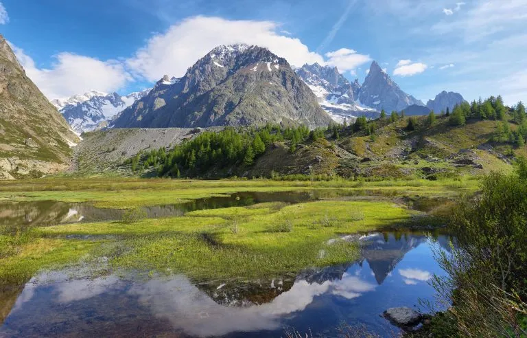
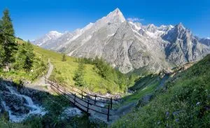
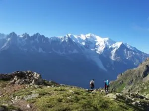
Etter en fredelig morgen kan du gå ned i dalen til Les Chapieuxhvor en jevn stigning starter. Fortid Les Mottetsog nyte det storslåtte fjellandskapet mens du vandrer opp til Col de la Siegne - grensen mellom Frankrike og Italia. Noen av rutens flotteste utsikter venter på oss på vei nedover til Rifugio Elisabetta, med utsikt over isbreen Vallée Lee Blanche og episk utsikt over Mont Blanc-massivet, denne gangen fra italiensk side.
Alternativ dag 3:
Hvis du tilbrakte den siste natten på Refuge de la Balme, kommer du til å ende på Refuge des Mottets i dag, ettersom det ikke er mulig å gå til Rifugio Elisabetta på én dag. Alle hyttene har sammenlignbar komfort, så du får det ikke verre i denne situasjonen.
19 km; 1060 m med høydeøkning og 1360 m med høydetap
Alternativ (Refuge de la Balme - Refuge des Mottets):
17 km; 1200 m stigning og 1050 m fall i høyde over havet
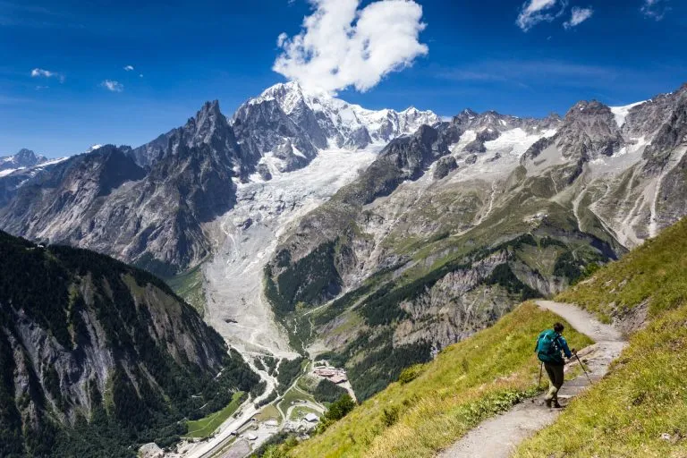
I stedet for å følge dalen, klatrer vi opp til den naturskjønne stien til høyre for den. flott utsikt over Monte Bianco. Utsikten kan strekke seg helt tilbake til gårsdagens Col de la Siegne. Etter å ha nådd de nå grønne skiløypene til Maison Vieillestarter du den bratte nedstigningen til Courmayeur - det italienske Chamonix. Hvis du vil skåne knærne, kan du også ta taubanen ned til alpinbyen.
15,5 km; 550 m stigning og 1470 m fall i høydemeter
Alternativ (fra Refuge des Mottets):
22,5 km; 1160 m med høydeøkning og 1830 m med høydetap
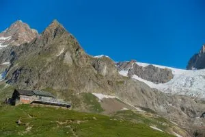
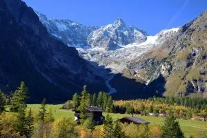
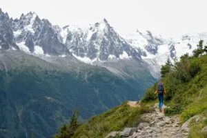
Etter morgenespressoen (som du også kan spare til den første hytta) forlater du byen Courmayeur og begir deg opp i fjellene. Når dere når Rifugio BertoneDen klassiske TMB tar deg på nordsiden av fjellene med flott utsikt over dalen og fjellmassivet til venstre. Fortsetter du forbi Rifugio BonattiEtter hvert synker stien sakte ned i Val Ferret og deretter følger dagens siste klatring som avsluttes ved Rifugio Elena.
Alternativ dag 5:
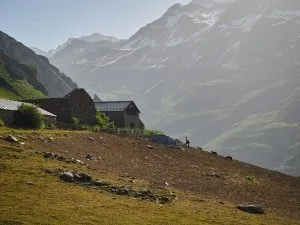
Hvis Rifugio Elena ikke er tilgjengelig, kan vi innkvartere deg i Hotell Lavacheysom ligger nedenfor Rifugio Bonatti i Val Ferret. Dette vil gjøre den femte dagen rimelig kortere og den sjette dagen lengre. Hotellet tilbyr mer komfort og bedre måltidsalternativer enn fjellhytter, men ligger i dalenDet betyr at du må forlate TMB i en mindre utforkjøring for å få tilgang til den. Opplevelsen din blir ikke skadelidende på noen måte, siden du klatrer rett opp igjen om morgenen.
19 km; 1500 m stigning og 640 m tap av høydemeter
Alternativ (til Hotel Lavachey):
14 km; 1000 m stigning og 600 m fall i høyde over havet
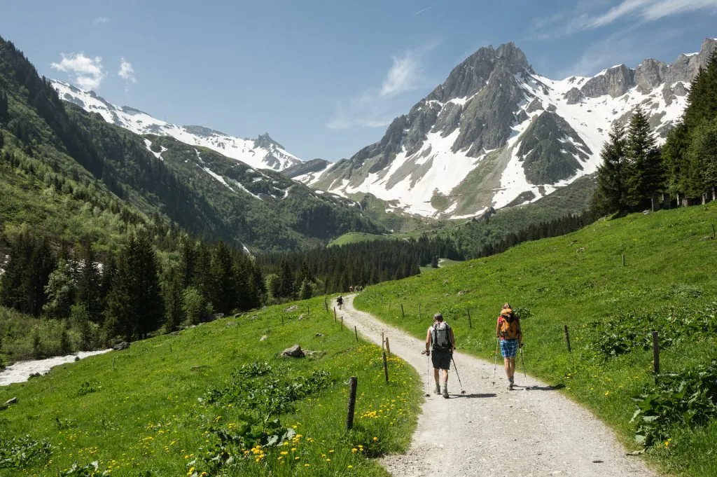
Du har allerede besøkt Italia og Frankrike, og i dag er det tid for Sveits. Du vil stige opp til Grand Col FerretHer begynner landskapet å se merkbart annerledes ut. Etter å ha fulgt stien på høyre side av La Dotse, går det sakte nedover i Ferretdalen og mot landsbyen La Dotse. La Fouly.
12 km; 500 m stigning og 950 m fall i høyde over havet
Alternativ (fra Hotel Lavachey):
18 km; 920 m med høydeøkning og 950 m med høydetap
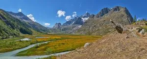
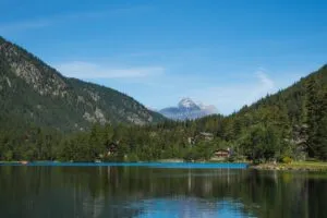
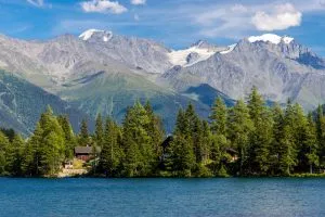
Uten noen søyler å krysse, er dette den den enkleste etappen i Tour du Mont Blanc. Den tar deg sakte gjennom dalen, forbi grønne enger og alpelandsbyer. Den ender ved Champex-LacEn vakker by ved en innsjø som ser ut som noe fra de kanadiske Rocky Mountains.
17 km; 550 m høydeforskjell og 710 m høydefall
Det er på tide å dra tilbake til fjells! Du forlater den avslappende dalen og begir deg opp over fjellet. Rute for storfe til Col de la Forclaz, med fantastisk utsikt over Rhônedalen. Det finnes også et alternativ, å krysse Fenetre d'Arpette passet, teknisk sett den vanskeligste delen av TMB, men med mer naturskjønn og vill utsikt rundt. Begge løypene går på slutten ned til den sveitsiske landsbyen Trient.
14 km; 800 m stigning og 960 m fall i høyde over havet
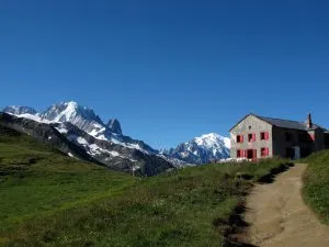
Dagens første oppstigning vil være til Col du Balme, der slutten kommer i sikte. Fra refugiet har du en fantastisk utsikt over hele Chamonix-dalen - runden er nå nesten fullført. Fortsett videre inn i Frankrike mot Col des Posettes og den like navngitte ryggen som følger etter. Nyt den flotte utsikten over noen av de mest ikoniske delene av massivet på venstre side, mens nedstigningen går bratt nedover til Tré-le-Champ i den nordlige delen av dalen.
15 km; 1130 m med høydeøkning og 1070 m med høydetap

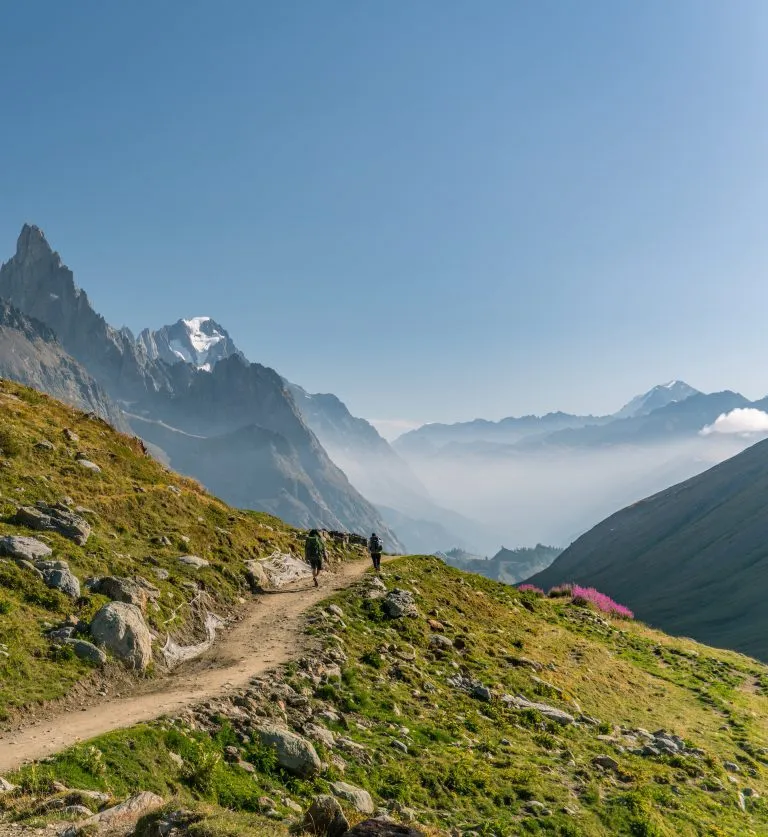
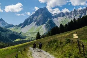
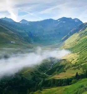
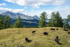
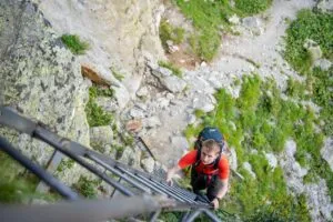
Det er fortsatt noen fantastiske seksjoner igjen de to siste dagene. Denne dagen vil lede deg mot ikoniske stigerEn av de mer interessante delene av Tour du Mont Blanc. Du kommer snart inn i Aiguille Rouge nasjonalparkHer kan man se et rikt dyreliv.
Snart kommer du til et veikryss der du kan vandre videre opp mot innsjøen i Lac Blanc, fortid Lacs des Chéserys og opplev noen av de mest fotograferte utsiktene fra denne siden av Chamonixdalen. Hvis du vil spare på beina, kan du følge den naturskjønne ruten over Grand Balcon Sud mot slutten av dagen, Refuge La Flégère.
8 km; 880 m med høydeøkning og 350 m med høydetap
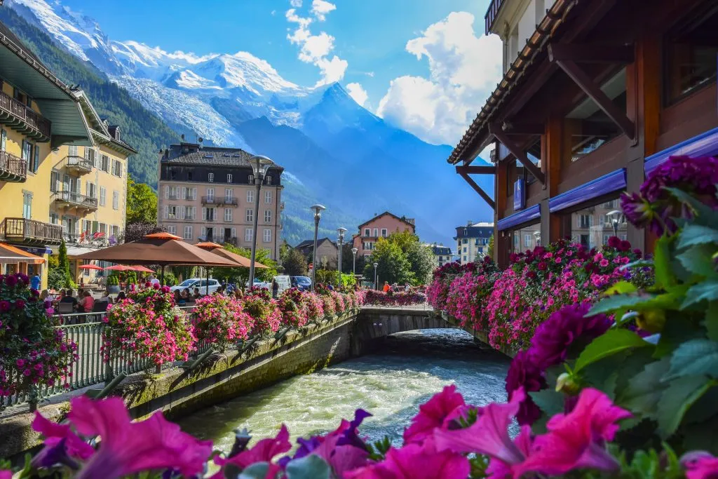
Den siste dagen er her! Dere fortsetter på Balcon Sud til dere kommer frem til Le Brévent. Du har to alternativer for å komme deg opp til toppen - ta det rolig med taubane eller gå til toppen over noen mer tekniske stigepartier. Uansett, fantastisk utsikt over Mont Blanc venter på deg på toppen. Fortsett langs den steinete stien til Refuge du Bellachathvor det venter en lang nedstigning til Chamonix-dalen. Du avslutter i Les Houches, der du startet, men vi anbefaler deg å ta en buss til Chamonix for å feire at du har fullført turen.
16,7 km; 790 m høydeforskjell og 1650 m høydefall
Selvstyrt
Inkludert i prisen
Hva du bør ta med på turen
Beskrivelse
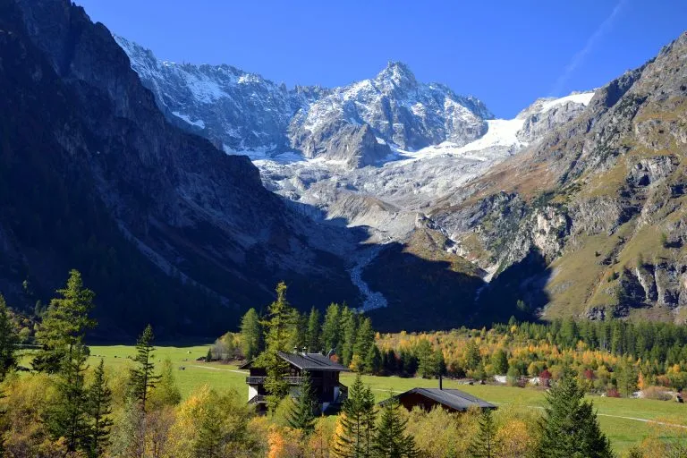
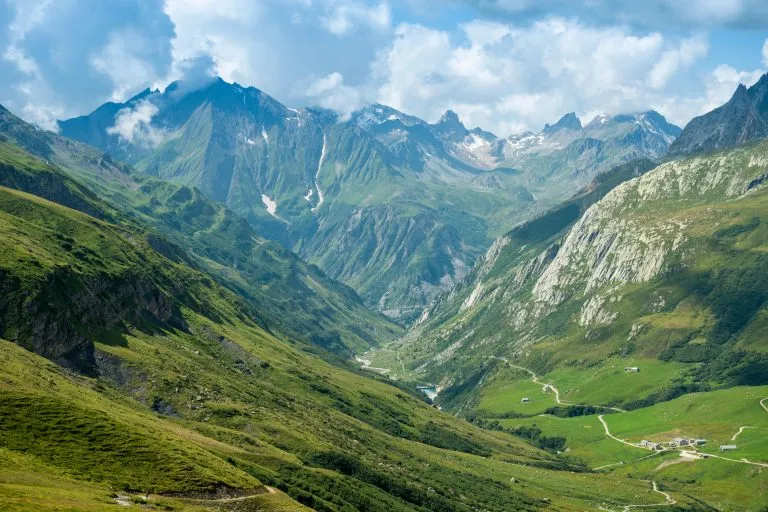
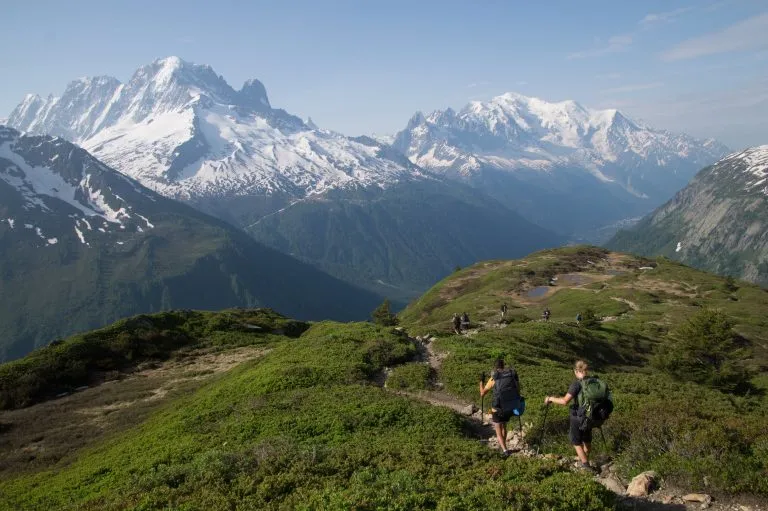
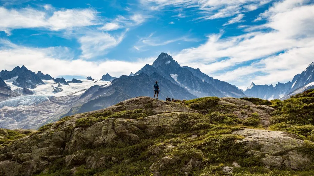
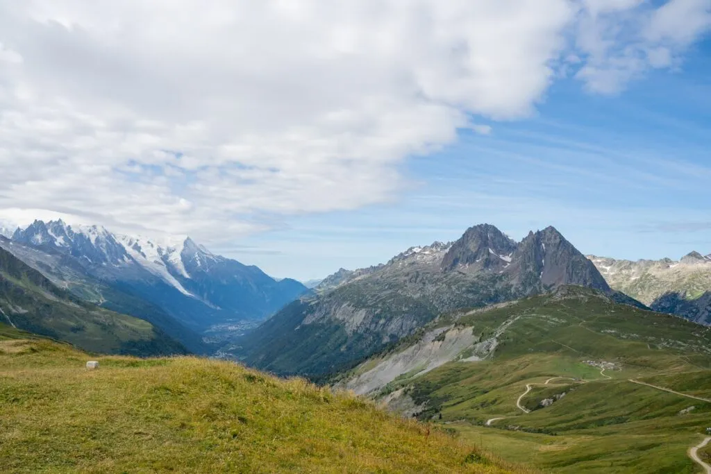
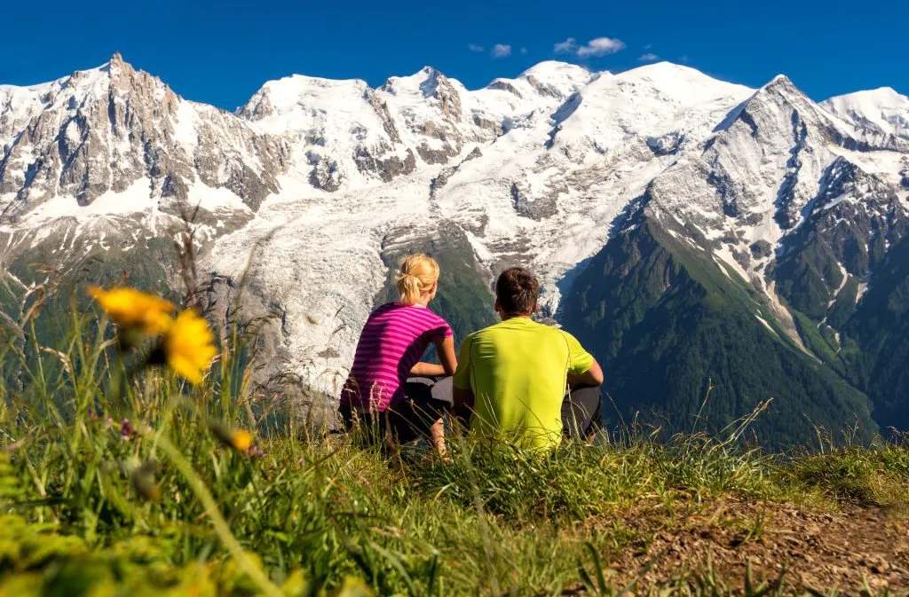
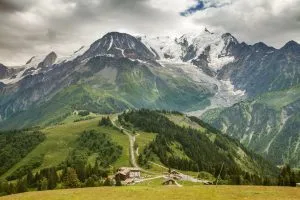
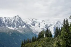
Med all sin storhet er Tour du Mont Blanc en av de mest spennende og givende fotturene i verden. Turen går rundt Mont Blanc-massivet og fører deg gjennom Frankrike, Italia og Sveitsog passerer daler og fjellsider i hvert enkelt land på sin ferd. rundt Vest-Europas høyeste topp.
11 etapper og rundt 170 kilometer er TMBs offisielle lengde, noe som gjør dette til den klassiske selvguidede versjonen av stien. Den er for alle som ønsker å ta hele reisen og opplev denne vakre turen i sin helhet.
Etappene som er beskrevet i denne 11-dagers reiseruten for Tour du Mont Blanc er ikke hugget i stein, ettersom mange av dem byr på Alternativer - Noen gjør det i ro og mak, mens andre utforsker flere perler i området.
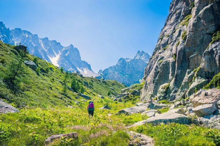
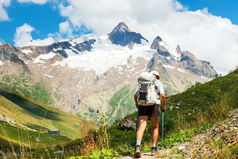
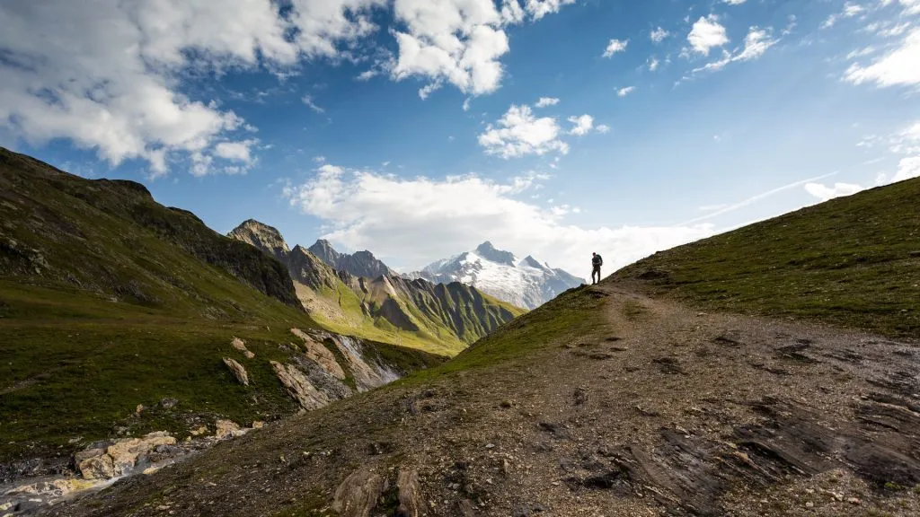
Selv om det teknisk sett ikke er krevende, krever Tour du Mont Blanc på egen hånd en god del forberedelser og planlegging. Du må også være i god nok form til å kunne vandre fra 5-7 timer per dag i variert terreng i mer enn en uke.
Vi overlater det meste til deg, mens vi tar oss av alt annet.
Ved å kombinere vår off-trail research og turerfaring tar vi utgangspunkt i dine ønsker og preferanser for å gi deg de beste rådene om hvilken rute du bør velge. Deretter bestille alle overnattingssteder og andre tjenester du trenger. Og noen uker før du reiser, får du en oversikt over detaljert reiserute med den planlagte GPS-rute, og du er klar til å gå i gang.
Den selvguidede Tour du Mont Blanc venter på deg!
Kart
Begynn planleggingen i dag!
Ting du bør vite
Været i fjellet er svært skiftende. Selv om det er +25 °C i dalen, er det mye kaldere på fjellpassene, spesielt hvis det er overskyet og blåser. Derfor bør du kle deg lag på lag, med en vindtett og vanntett jakke (gjerne to) og en vanntett bukse (i tilfelle regn). Du bør også ha et eget sett med klær til å kjøle deg ned i fjellhyttene.
Se hele pakkelisten vår her.
Selv om utsikten på Tour du Mont Blanc er naturskjønn og vill, er det aldri mer enn en dags vandring fra nærmeste vei eller sivilisasjon. Hvis du bestemmer deg for å avbryte turen, kan du alltid ta deg til nærmeste landsby eller by og bruke offentlig transport for å komme deg til ønsket destinasjon. Hvis det skjer i løpet av turen, er vi også her for å hjelpe deg med å planlegge dette.
Skulle det oppstå en nødsituasjon på stien, har du alltid tilgang til de lokale redningstjenestene på telefonnummer 112. Vi gir mer informasjon om dette i våre selvguidede brosjyrer.
Selv om det ikke er den eneste turen mange velger, er det den beste. Den største fordelen er at du alltid har utsikten til Mont Blanc-massivet foran deg, og ikke bak ryggen. Det blir også færre bratte nedoverbakker (noe som skåner knærne) enn ellers.
Ja, men det anbefales ikke hvis de er for unge (under 10 år). Uansett må de ha litt erfaring med fjellturer fra før og vite hva som kreves for å gjennomføre en hel dag på stien.
Det er lurt å gjøre det så tidlig som mulig, for plassene på overnattingsstedene langs stien tar som regel fort slutt. Det betyr at jo lenger du venter, jo færre muligheter har du.
Ja, offentlig transport er tilgjengelig i de fleste dalene, noe som kan forkorte noen av de flate delene av turen. I tillegg finnes det noen taubaner som kan ta deg opp i fjellene, noe som reduserer stigningen på enkelte etapper.
Ja, men bare gjennom dalen. Det betyr at den venter på deg ved neste overnattingssted i dalbunnen, enten det er et hotell eller en hytte. Hvis du overnatter på en fjellhytte innimellom, må du ta med deg nok i sekken til å klare en ekstra dag.
Enkelte deler av stien er utsatt for tordenvær, så det er sterkt frarådet å gå den i slikt vær. Du kan likevel ta igjen den tapte tiden ved å ta offentlig transport når det er mulig.
De fleste av dem gjør ikke det, og derfor bør du alltid ha nok kontanter til å betale for noe ekstra enn det som er inkludert i turene våre. Bare én hytte må betales på stedet, og det informerer vi deg om på forhånd. Du trenger ikke å bekymre deg for hotellene og andre private overnattingssteder - de fleste tar imot kontanter. Vi anbefaler likevel at du alltid har med deg litt ekstra kontanter i tilfelle noe skulle gå galt.
Du kommer til å reise gjennom tre land - Italia og Frankrike bruker euro (EUR), mens Sveits har sveitsiske franc (CHF).
Noen av dem tilbyr dusj, men det er ikke sikkert det er varmt vann. På de fleste må du kjøpe en pollett for å få et minutt med varmt vann (hvis det ikke allerede er tomt).
Nei. Alle hyttene har tepper, sengetøy og puter, men det er fint å ta med eget liggeunderlag i silke eller bomull.
Vi kan ordne det på hotellene og andre overnattingssteder i landsbyer og byer langs veien. Når det gjelder fjellhyttene, er det noen få som har den muligheten, men det er vanligvis den første som blir utsolgt, så du må være veldig tidlig ute hvis du vil at vi skal få tak i den.
Det er det ikke i de fleste av dem. Nyt muligheten til å koble av fra teknologien og få kontakt med naturen. Men hvis du virkelig trenger det, kan du prøve å få dekning ute eller vente til du kommer tilbake til dalen. Der bør det ikke være noe problem å få tilgang til internett.
Vegetarisk mat er lett tilgjengelig på de fleste overnattingsstedene. På den annen side er det vanskeligere å finne veganske alternativer, spesielt på hyttene. Men hvis du gir oss beskjed i god tid på forhånd, kontakter vi hyttene for deg og prøver etter beste evne å tilrettelegge for deg.
Hele løypen er relativt lite teknisk vanskelig, ettersom det meste går på godt vedlikeholdte stier. Det eneste tekniske partiet er i etappe 10, når det klatres over noen sikre stiger over bratte fjellvegger. Men selv på stiene kan du støte på ulendt terreng der du må passe på hvor du går.
Den største utfordringen er kondisjonen. Du må være komfortabel nok til å gå mer enn 1000 høydemeter på nesten hver etappe i 11 dager i strekk.