4.5 km and 760 m of elevation gain


Tour du Mont Blanc Highlights – 5 Day Itinerary
5 days / 4 nights
|
Starting point
Courmayeur
Finish point
Chamonix
Season
From June to September
Technical level
3/5
Fitness level
3/5
Tour type
Hut-to-Hut
Starting point
Courmayeur
Finish point
Chamonix
Season
From June to September
Technical level
3/5
Fitness level
3/5
Tour type
Hut-to-Hut
Highlights
- A great way to experience the TMB without taking a whole week off work
- Hike through Italy, Switzerland, and France, exploring some of the best stages of the route
- Finish in Chamonix, the mecca for outdoor enthusiasts
- Sleep in an off-the-grid mountain hut, enjoying their tasty Alpine food
Itinerary of the trip
FREE ITINERARY
Get Your Travel Itinerary
Loved the itinerary? Enter your email below, and we'll send a copy straight to your inbox.
What’s included in the price?
Self-guided
NOT INCLUDED
OPTIONAL EXTRAS
What to bring to the tour
- Hiking shoes/boots
- 25 to 45-liter backpack
- Base layer
- Sports T-shirts
- Hiking shorts
- Hiking water-repellent pants
- Waterproof jacket
- Midlayer
- Sports socks and underwear
- Leisurewear for evenings
- Down jacket
- Gloves
- Shade hat/cap
- Warm headwear
- Sunscreen
- Sunglasses
- Headlamp
- Hiking poles
- ID card or passport
- Snacks
- Cash
- Water bottles or hydration pack
- Sleeping liner
- Toiletries
- Toilet paper
- Small first aid kit
If you’ve always wanted to hike the world-famous Tour du Mont Blanc, but you can never find the time to do the whole circuit, this is the place for you.
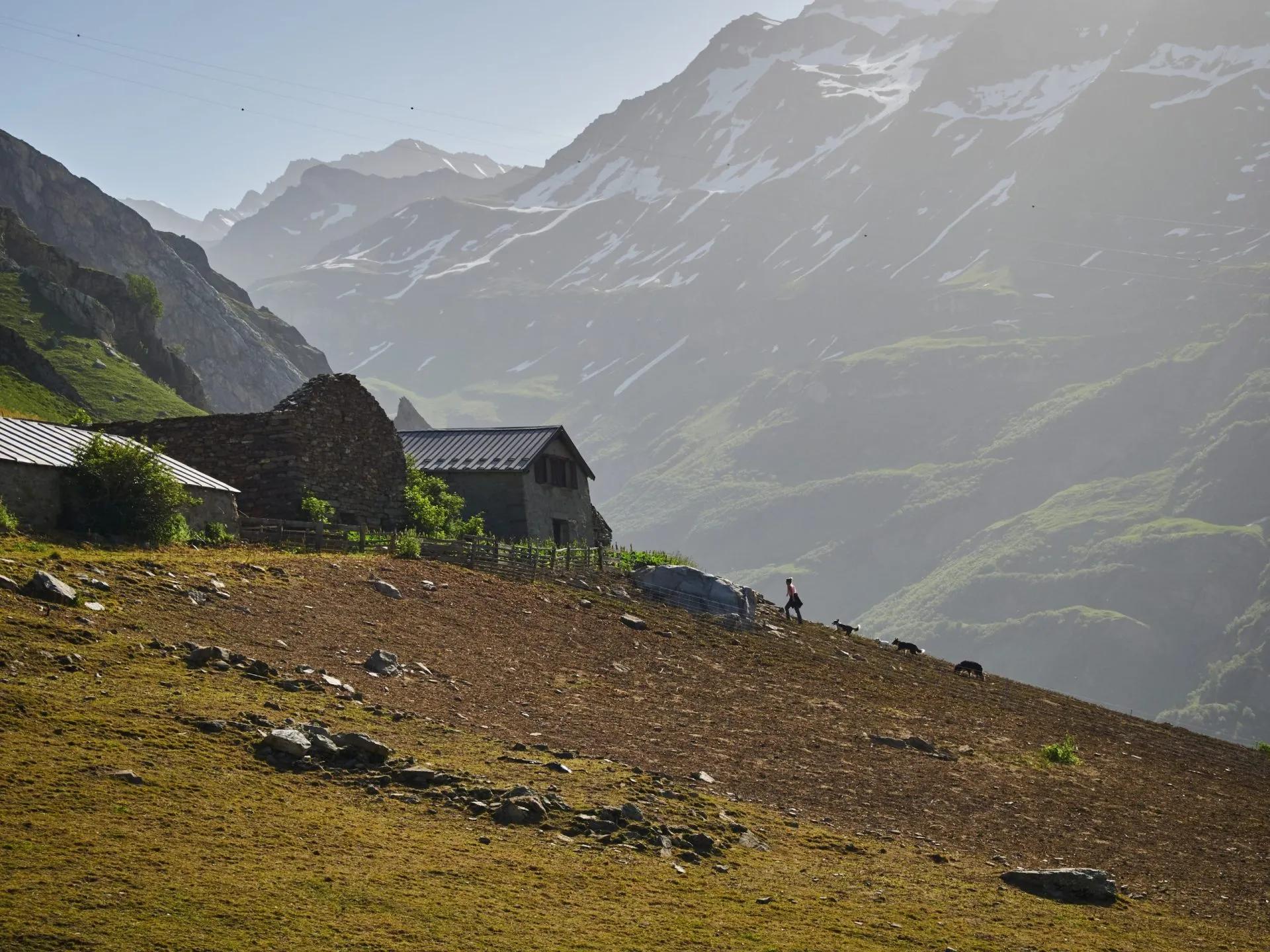
This is the perfect short version of the TMB, still hiking through 3 countries, exploring some of the most diverse alpine landscapes. Yes, you will see Mont Blanc, the glaciers, the sharp mountain peaks, the winding valleys, and the green pastures.
If somebody asked you how it was on Tour du Mont Blanc, they would think you had hiked the whole trail.
Combing our off-trail research and hiking experience, we take your wishes and preferences to best advise you on which specific route to take. We then book all of your accommodations and other services that you need. And a few weeks before setting off, you’ll get the detailed itinerary with the planned GPS route, and you’re ready to go.
You’ll stay in one peaceful mountain hut, a boutique hotel, and two authentic auberges (inns), giving you a chance to also experience the local cuisine.
Frequently Asked Questions
Ratings & Reviews

5.0 average rating

We had a lovely hike today with our guide Klemen. He personalized the tour on our needs and interests, so that we saw places we wouldn't without his experience. The hike was a little bit slippery after the rain from the last days and it went a lot upwards, but it was totally worth it! Thanks again :)


Abigail Gilmore
Had a great time on this hike. Great and simple way to see the TMB. Would recommend Hut to Hut to friends.

Carolan Mackay
We had a great time. We would have liked more descriptions for options with easier passages - one person in our group required that a lot.
We had a lovely hike today with our guide Klemen. He personalized the tour on our needs and interests, so that we saw places we wouldn't without his experience. The hike was a little bit slippery after the rain from the last days and it went a lot upwards, but it was totally worth it! Thanks again :)


Carolan Mackay
We had a great time. We would have liked more descriptions for options with easier passages - one person in our group required that a lot.

Abigail Gilmore
Had a great time on this hike. Great and simple way to see the TMB. Would recommend Hut to Hut to friends.
All available guidance options
Self-guided
Are you looking for a good adventure and limitless flexibility? Then you should try out a self-guided tour, perfect for independent explorers who want to set their own pace. Without the need to stick to a group schedule, you’re free to linger at scenic viewpoints while the logistics are taken care of in advance.

Hassle-Free
We handle itineraries, accommodations, and anything else you prefer not to deal with, so you can enjoy a carefree hike.

Book with confidence
We are a financially protected company, fully bonded and insured, keeping your money safe and allowing you to travel with confidence.

Tried & Tested Adventures
Only the best adventures on the TMB, cherry-picked by our local team with an in-depth knowledge of the region.

Unbeatable support
Our 24/7 customer support is where we show our passion, bringing you a better experience by making your well-being our number one priority.


