The Ultimate Guide to the Tour du Mont Blanc Hike
How long is it? How to plan? What to do to prepare? Here is everything you need to know about one of the Alps' most famous multi-day trekking adventures.
Quick links
Don't want to read all this?
We've planned 2,000+ hiking trips. Send your dates, fitness and group size — we'll map the route and book every night.



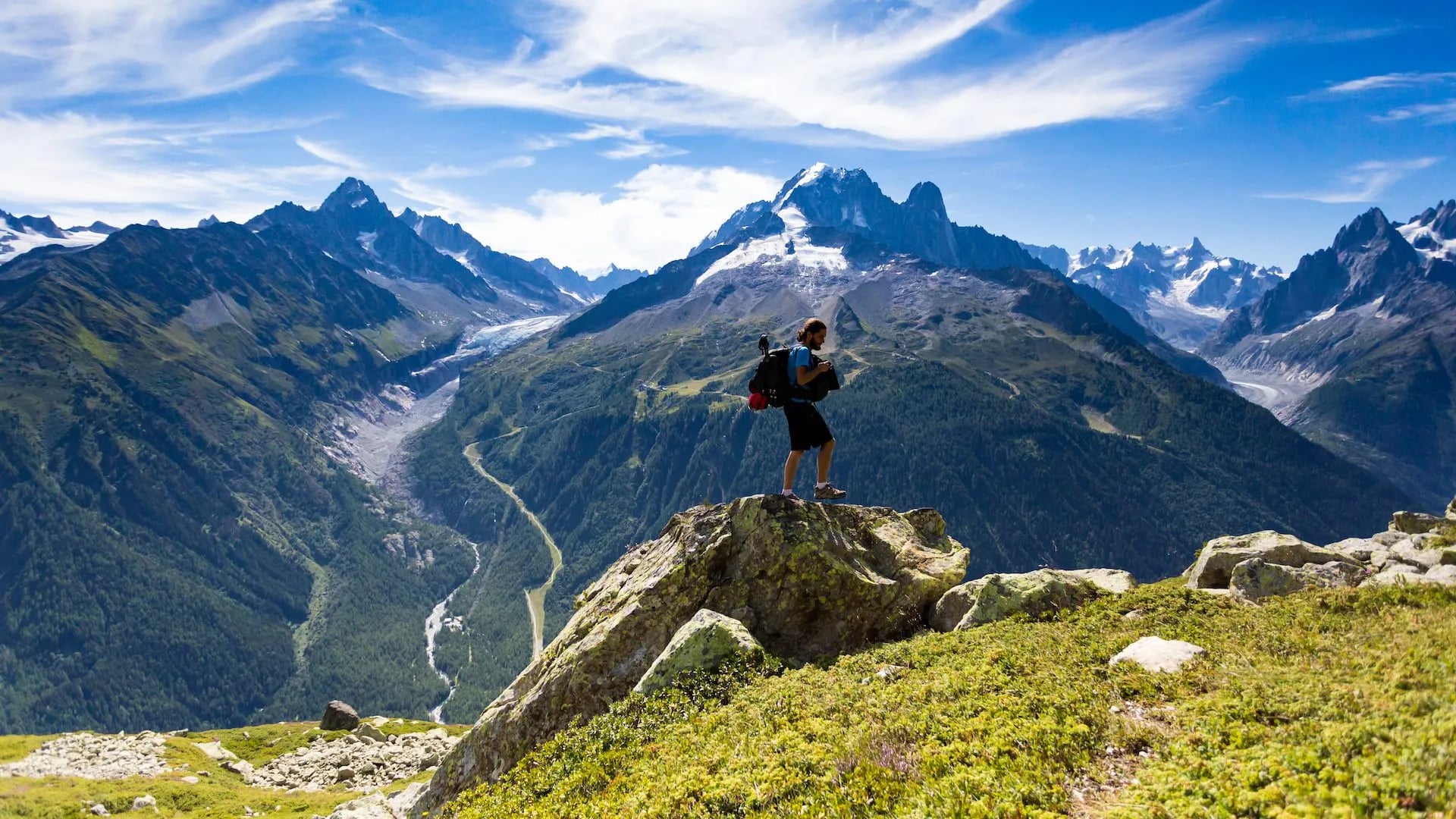
The Tour du Mont Blanc (TMB) is one of the most famous long-distance treks in the world, circuiting the highest peak of Western Europe in about 170 kilometers. Its landscape is some of the most awe-inspiring in Europe, with a stunning and diverse combination of glaciers, alpine meadows, snow-capped peaks, lakes, rivers, and waterfalls, which makes it hugely popular with tourists and hikers alike.
If you’re interested in hiking this incredible route yourself, continue reading and learn everything you need to know about hiking and completing the TMB.
Where does the Tour du Mont Blanc trail go?
Total length: Around 170 km (depending on the number of alternative routes taken)
Total elevation gain: Around 10,000 m
No. of stages: 11
Countries: France, Italy, Switzerland
The name “tour du Mont Blanc” is in French and means literally “around Mont Blanc”. As this name suggests, the trail takes you around Western Europe’s highest mountain peak.
And because that peak is actually just part of a massive mountain range, called the Mont Blanc massif, the trail around it is much more epic than going around a lone mountain.
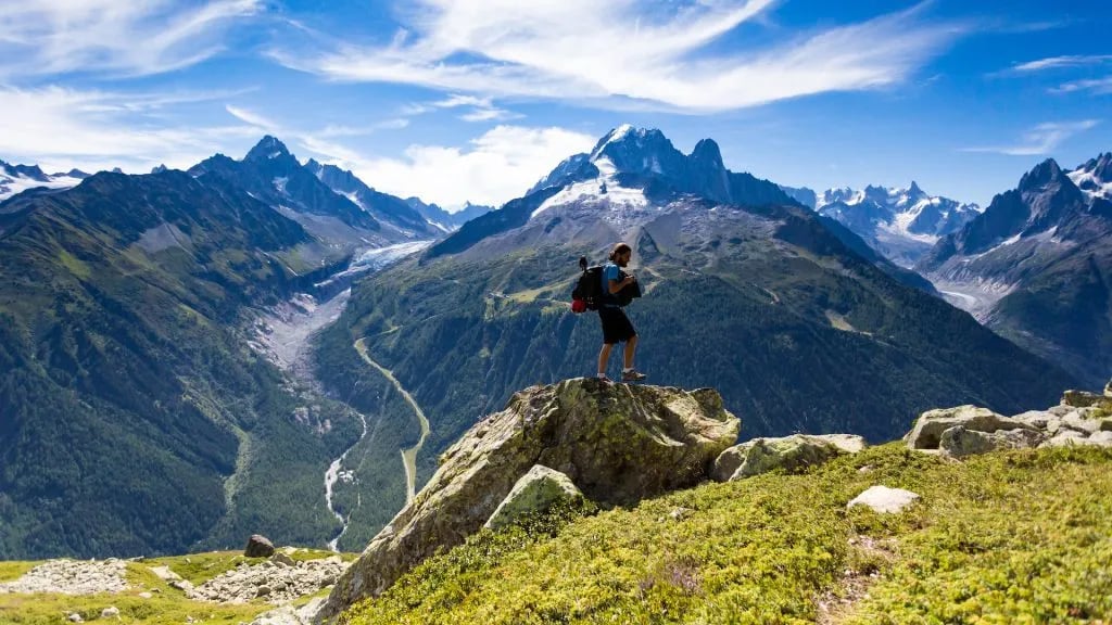
The scenery along the Tour du Mont Blanc hike is unmatched, ranging from the lunar-like Aiguille Rouges to the valley pastures of Les Contamines. But no matter what, there’s always a constant backdrop of the Mont Blanc range.
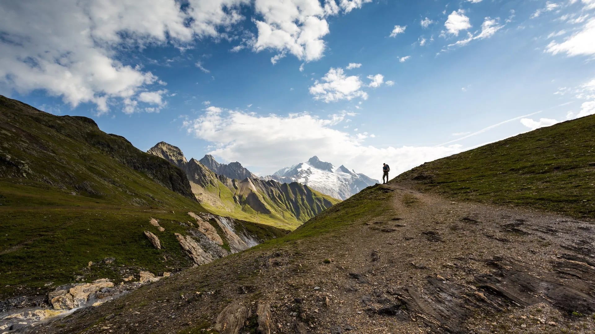
It leads you around the impenetrable wall of mountains over many mountain passes (called cols), through valleys, and on the sides of the mountains. Sometimes it also takes you along a mountain ridge, but that’s more of an exception than a rule.
Its official start is in Les Houches (just south of Chamonix), going through the towns of Les Contamines, Courmayeur, La Fouly, Champex-Lac, Trient, and Argentière. It never actually goes through the town of Chamonix, although many people start their hike just there.
You can play with the map above or read the itinerary of our 11-day Self-guided Tour du Mont Blanc to get more details about each of its 11 stages.
How Long Is the Tour du Mont Blanc?
The classic Tour du Mont Blanc covers approximately 170 kilometres (106 miles) with around 10,000 metres (33,000 feet) of cumulative elevation gain. Those numbers are worth sitting with for a moment, because they don't quite behave the way distance does on flat ground.
On a map, 170 kilometres is a straightforward figure. On the TMB, those kilometres run over several mountain passes, through three countries, and add up to roughly 10,000 metres of elevation gain. The terrain is rarely technical, a scale that only really makes sense once you're on the trail.
What the Distance Actually Means on the Trail
The 170 km figure represents the core classic route, walked counter-clockwise from Les Houches back to Les Houches. In practice, the exact distance varies depending on which variants you take. The Lac Blanc detour, the Mont de la Saxe ridge, and the Fenêtre d'Arpette each add distance and elevation. The standard figure is an average. The real number for most hikers lands somewhere between 165 and 180 km, depending on their specific choices.
What matters more than the headline distance is how it's distributed: the TMB offers no flat days. Every stage climbs, descends, or both. The typical stage is 15–20 km in length, but involves 700–1,000 metres of ascent and a similar amount of descent. This is what makes the daily walking time range from 5 to 9 hours despite the relatively modest daily distances by road standards.
Stage-by-Stage Distance Overview
The figures below are approximate averages for the classic counter-clockwise itinerary. Stage boundaries vary by accommodation choice, and times reflect a moderate hiking pace including short breaks.
Stage | Route | Distance | Elevation Gain | Walking Time |
1 | Les Houches → Refuge Miage | ~17 km | ~1,230 m | 6–7 hrs |
2 | Refuge Miage → Croix du Bonhomme | ~20 km | ~1,480 m | 7–8 hrs |
3 | Croix du Bonhomme → Rifugio Elisabetta | ~16 km | ~780 m | 5–6 hrs |
4 | Rifugio Elisabetta → Courmayeur | ~14 km | ~500 m | 4–5 hrs |
5 | Courmayeur → Val Ferret | ~16 km | ~1,070 m | 5–7 hrs |
6 | Val Ferret → La Fouly | ~13 km | ~750 m | 4–5 hrs |
7 | La Fouly → Champex-Lac | ~16 km | ~600 m | 5–6 hrs |
8 | Champex-Lac → Trient | ~17 km | ~1,060 m | 5–7 hrs |
9 | Trient → Tré-le-Champ | ~15 km | ~950 m | 5–6 hrs |
10 | Tré-le-Champ → La Flégère | ~10 km | ~1,000 m | 4–5 hrs |
11 | La Flégère → Les Houches | ~13 km | ~500 m | 4–5 hrs |
Stage 2 is consistently the longest and most demanding in terms of both distance and elevation. The total walking time for the full classic circuit falls in the range of 55 to 80 hours, spread across 11 days.
Distance vs. Difficulty: What the Numbers Don't Tell You
The headline figures,170 km, 10,000 m, don't capture what the trail actually feels like. A 15-km stage on rocky terrain with 1,000 metres of ascent followed by an equally steep descent is not the same experience as a 15-km walk in a river valley.
How difficult is the Tour du Mont Blanc?
At 170 km and 10,000 m of elevation gain, the TMB is a serious multi-day undertaking, but it's well within reach for anyone who hikes regularly.
If you can comfortably do a hike with 500 m of elevation gain once a week, you have the base fitness needed. Going straight from the couch is not recommended.
Technically, the trail is not demanding. It crosses uneven, rocky terrain and is occasionally narrow or exposed, but you never need to use your hands to move forward.
The highest point on the classic route is Grand Col Ferret at 2,537 m. Not high enough to cause altitude sickness in most healthy hikers, though arriving a day early in Chamonix to acclimatize is always a good idea!
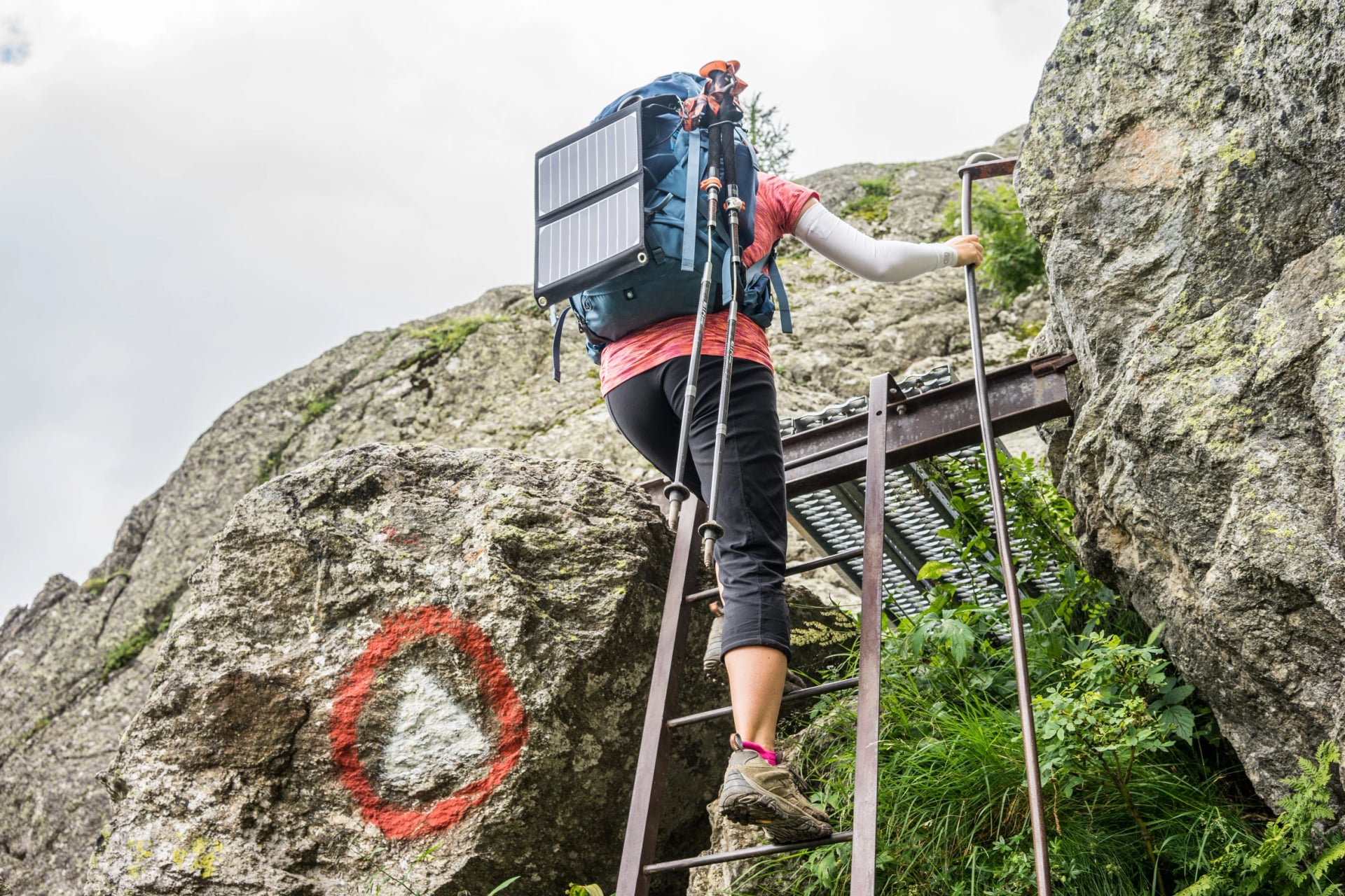
The one section that gives people pause is the ladder section on Day 10: nine metal ladders bolted to the rock face, with bypass alternatives available if needed.
For a full breakdown of fitness requirements, technical difficulty, elevation, the ladders, and what to expect, see our TMB Difficulty guide.
The TMB Stages: A Day-by-Day Overview
The Tour du Mont Blanc is divided into 11 stages in its classic format.
Each one crosses from one overnight stop to the next, typically over a mountain pass or through a valley, with total daily distances between 12 and 22 kilometres. This section is a stage-by-stage picture of that classic route, what each day involves, where the key decisions are, and what to expect when you get there.
Stage lengths and elevation figures are approximate, the TMB is a route where variants matter. If you're still deciding how many days to take or which variants to include, our TMB Routes and Variations guide covers every itinerary option in full.
Stage 1: Les Houches to Les Contamines-Montjoie
~16 km classic / ~19 km via Col du Tricot · ~620 m gain (classic) / ~1,440 m (variant)
The opening stage eases you in without being a pushover. The classic route climbs to Col de Voza before descending through the Bionnassay valley with views of the glacier. The Col du Tricot variant branches off at the col and climbs significantly higher, crossing a Himalayan-style suspension bridge over the Bionnassay torrent before reaching 2,120 m. It's a harder day but a more memorable one. In good weather, this is the recommended route.
Stage 2: Les Contamines-Montjoie to Refuge de la Croix du Bonhomme
~17 km · ~1,450 m gain · High point: Col de la Croix du Bonhomme, 2,483 m
This stage climbs steadily through the valley, over Col du Bonhomme at 2,329 m, then up again to the Col de la Croix du Bonhomme.
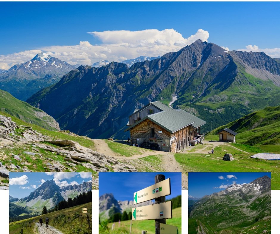
The refuge sits high on the pass with open views. It has no road access, meaning luggage transfer cannot reach it. You should pack your overnight kit into your daypack before leaving Les Contamines. Book it early; there are no alternatives nearby.
Stage 3: Refuge de la Croix du Bonhomme to Les Chapieux
~12–14 km · ~250 m gain · ~1,100 m loss
The shortest stage on the circuit with a long descent from the high pass to the valley below. It's knee-testing more than strenuous. Some operators extend it slightly to end at Refuge Les Mottets (1,864 m), closer to the foot of Col de la Seigne, which makes Stage 4 more manageable.
Les Chapieux is a tiny hamlet with limited beds. Confirm your reservation well in advance.
Stage 4: Les Chapieux to Courmayeur
~22 km · ~1,700 m gain · High point: Col de la Seigne, 2,516 m
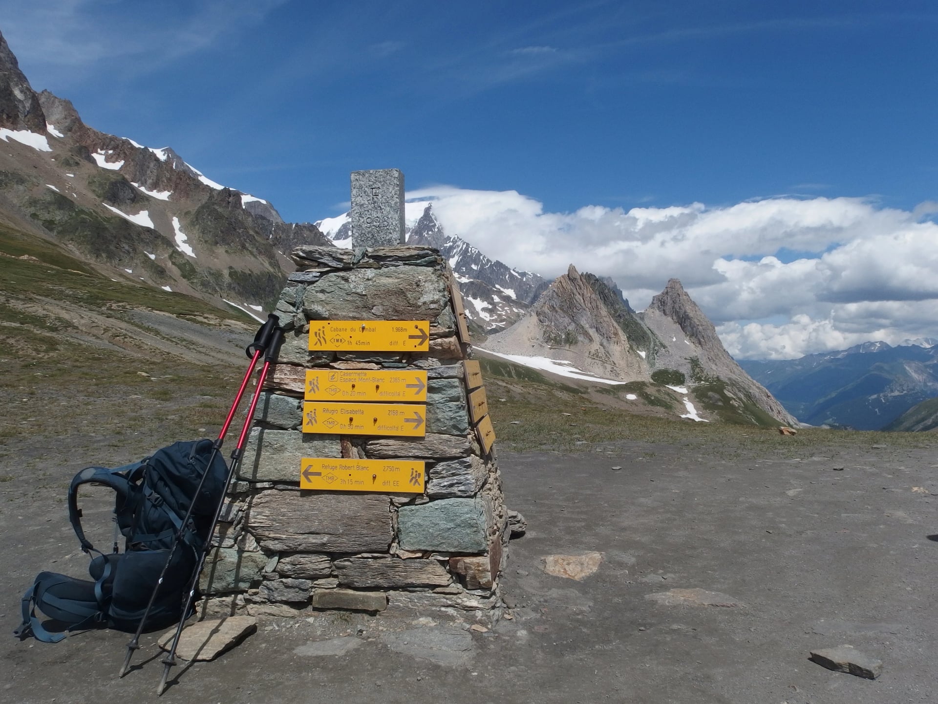
The hardest stage on the route for most hikers: the longest day, with the most elevation gain, crossing the highest exposed pass on the classic circuit. Col de la Seigne is the border between France and Italy, typically cold, windy, and spectacular. The descent into the Italian Val Veny is long and relentless.
The reward is Courmayeur: a proper Italian mountain town with good restaurants, a gear shop, and an atmosphere that makes it easy to linger. Many itineraries build in a rest day here. If there's one night on the circuit to book a hotel rather than a refuge and eat properly, this is it.
Stage 5: Courmayeur to Rifugio Bonatti
~15–18 km · ~700–1,200 m gain
The route climbs immediately from Courmayeur to Rifugio Bertone, then offers the day's main decision: the lower Armina path or the Mont de la Saxe ridge. The lower path is moderate and pleasant. The ridge is harder, higher, and on a clear day delivers some of the most dramatic views of the south face of Mont Blanc anywhere on the route. In rain or low cloud, take the lower path as the ridge is fully exposed and not worth the extra effort without the views.
Both paths converge at Rifugio Bonatti, one of the most celebrated stops on the whole circuit. Note that luggage transfer cannot reach it.
Stage 6: Italian Val Ferret to La Fouly
~14 km · ~900 m gain · High point: Grand Col Ferret, 2,537 m
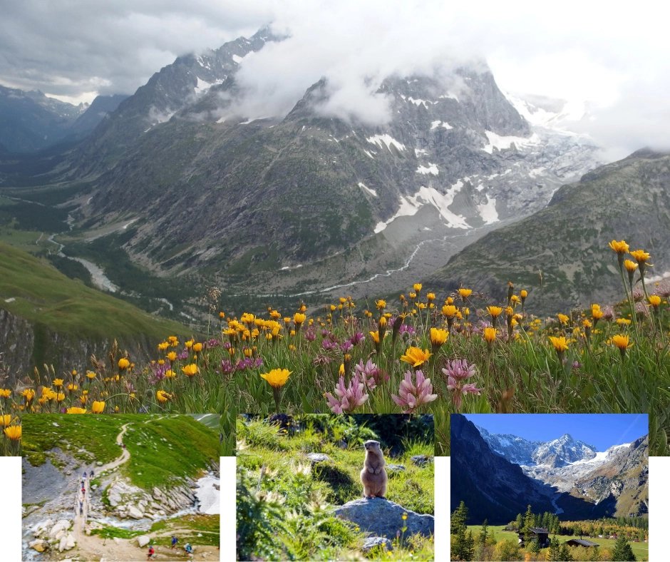
Grand Col Ferret is the highest point on the classic route and the border crossing from Italy into Switzerland. The Italian side climbs long and steady; the Swiss descent is shorter and steeper. At the top on a clear day, the view stretches across the Val Ferret behind you and deep into Switzerland ahead. This is one of the three great border moments on the circuit.
Stage 7: La Fouly to Champex-Lac
~15 km · ~700 m gain
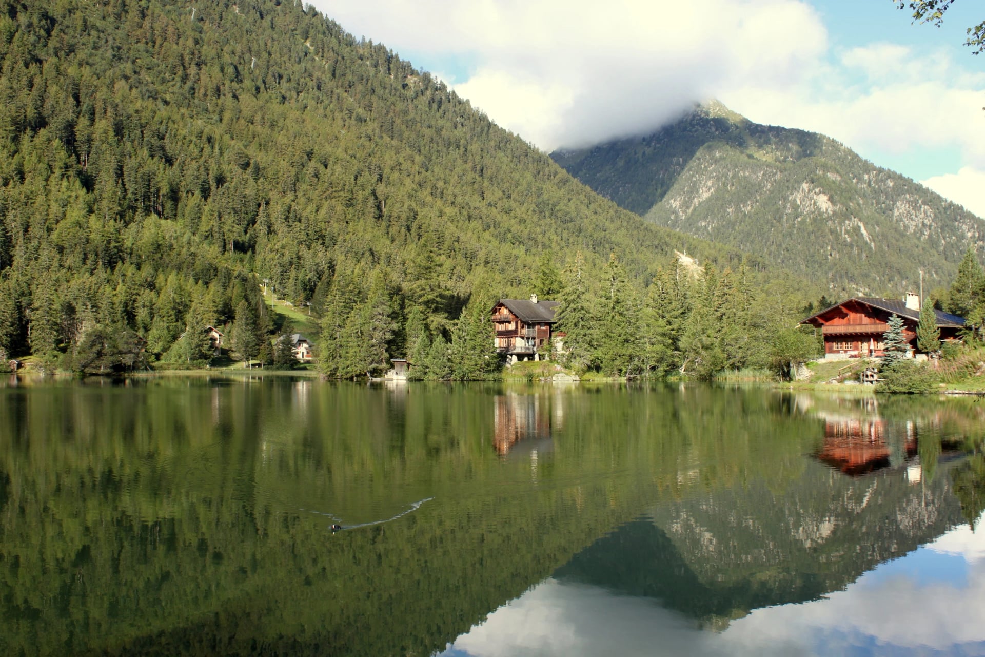
The calmest stage on the circuit with a gradual northward climb through the Swiss Val Ferret to the lakeside village of Champex-Lac. The valley stretch between Orsières and Champex is also the section most commonly shortened by bus when hikers want to preserve energy for the days ahead.
Champex-Lac is worth the stay: a small village on the edge of a mirror-flat alpine lake, with good hotels and a noticeably quieter atmosphere than Chamonix or Courmayeur. If there's a rest day built into your itinerary, this is a good place for it.
Stage 8: Champex-Lac to Trient
~18–19 km · 1,150–1,640 m gain · High point: Bovine plateau ~2,000 m / Fenêtre d'Arpette 2,665 m
The stage most hikers deliberate over longest. Two routes leave Champex-Lac heading north.
The Alp Bovine route climbs through forest and alpine pasture to a working dairy farm at roughly 2,000 m, with wide views over the Rhône valley.
The Fenêtre d'Arpette climbs the narrow Val d'Arpette to a thin notch in the ridge at 2,665 m, the joint highest point on the entire route. On the other side, the Trient Glacier fills the valley below you. The descent is steep and loose. In clear weather with strong legs, it's the most dramatic single day on the circuit. In anything less than settled conditions, choose Alp Bovine.
Both routes end in Trient, a small hamlet with one main accommodation that fills fast in peak season.
Stage 9: Trient to La Flégère
~20 km · ~1,400 m gain · High point: Col de Balme, 2,204 m
Col de Balme is the border crossing back into France. On a clear day, the view from the top is one of the most anticipated on the circuit. Mont Blanc and the full Chamonix massif suddenly visible ahead for the first time, the Swiss peaks receding behind. It has the quality of a homecoming.
Ending the stage high rather than dropping to the valley floor keeps you well-positioned for the following morning.
Stage 10: Tré-le-Champ to La Flégère
~15 km · ~1,000 m gain · High point: Tête aux Vents, 2,132 m
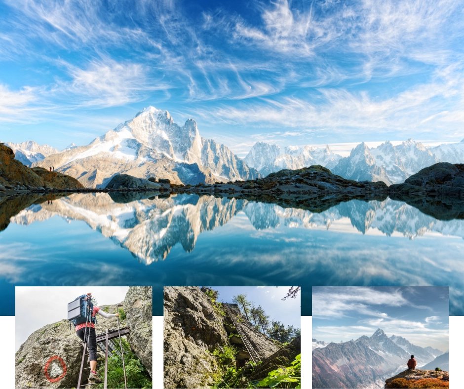
The trail climbs from Tré-le-Champ through forest and above the treeline before reaching the famous ladder section. Nine sets of metal ladders bolted into the rock face, guiding hikers up through granite terrain that would otherwise be impassable. For most people it's one of the most memorable moments of the entire trek.
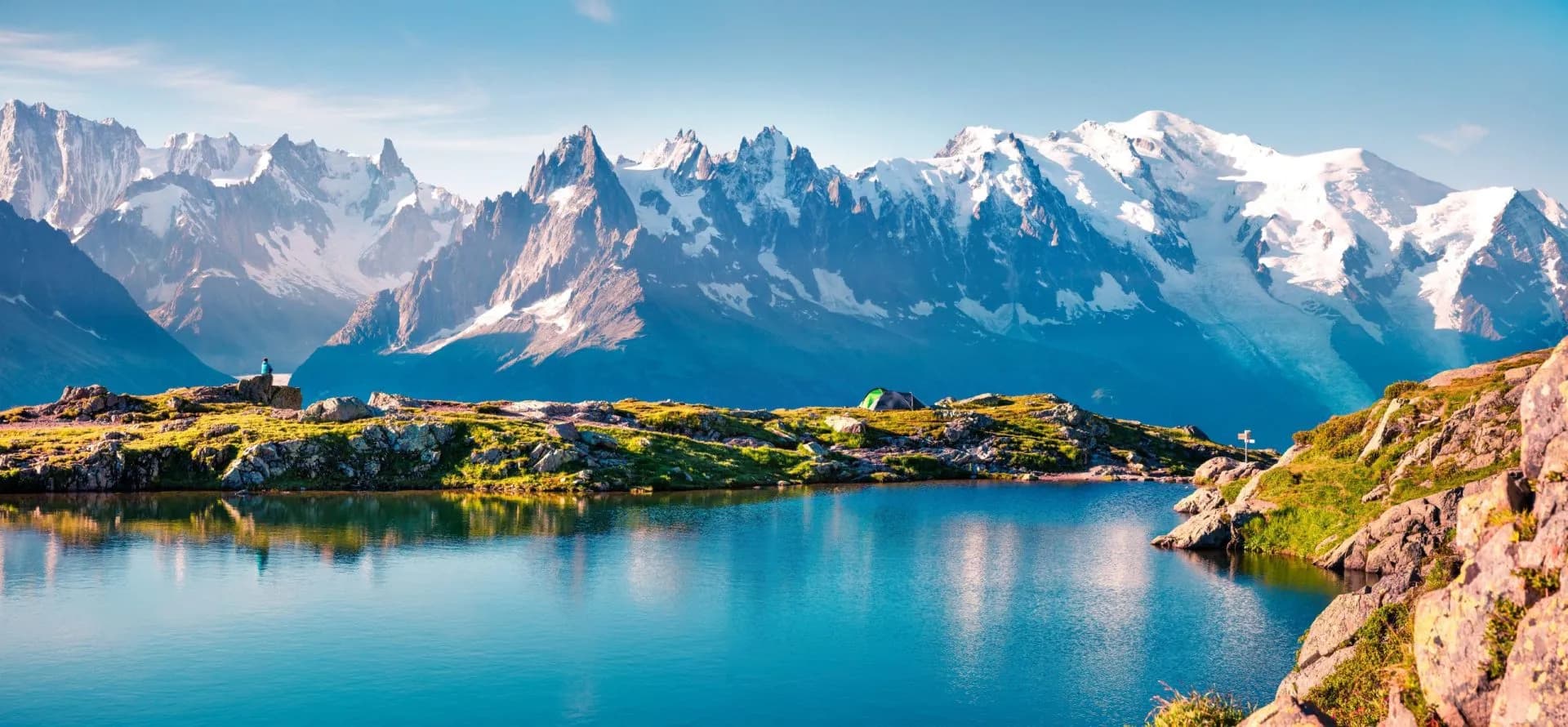
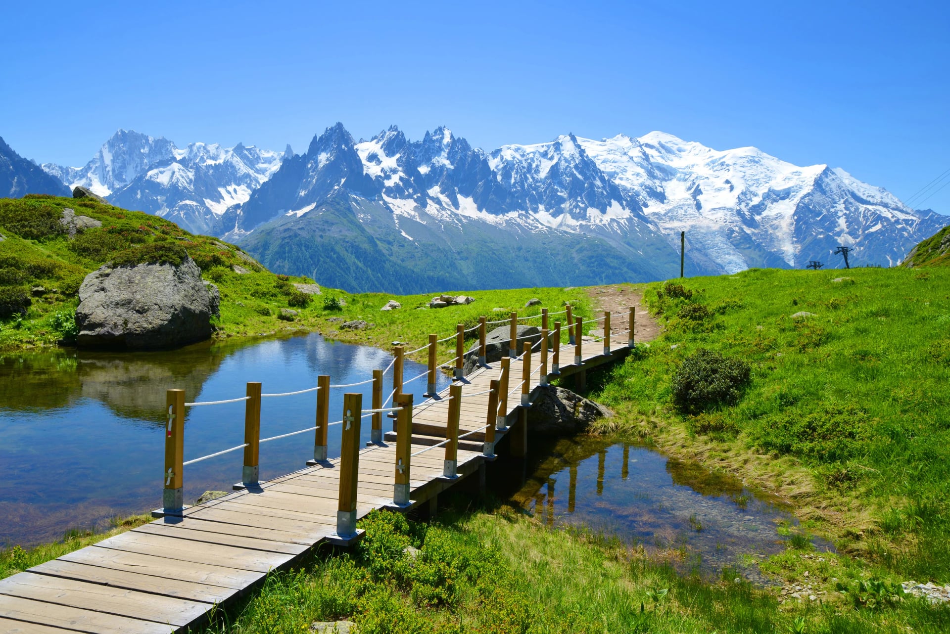
Above the ladders, the Grand Balcon Sud continues high above the Chamonix valley with the Mont Blanc massif filling the view ahead. The stage can also incorporate the Lac Blanc detour, a 475-metre climb to a turquoise lake at 2,352 m where the massif reflects in the water.
Stage 11: La Flégère to Les Houches
~16 km · ~500 m gain · ~1,200 m loss
The final stage descends from La Flégère west through the forest back to Les Houches. The first section follows the balcony trail past Refuge de Bellachat with the Mer de Glace and the Aiguilles de Chamonix directly ahead. After that, a long 900-metre descent on rocky and forested trail — harder than it looks on paper after ten days of accumulated effort. Start early and take it steadily.
The TMB arch at the Les Houches trailhead marks the end of the circuit. Most hikers take the bus or train back to Chamonix for the finish-line meal they've been thinking about since Courmayeur.
A Short History
Although the trail follows many ancient shepherd routes, it was walked whole for the first time in 1767 by Horace Benedict de Saussure. He was looking for ways to climb the peak of Mont Blanc, and he even offered a reward for the first ascent.
His exact trail is unknown, but it inspired many other travelers to the region afterward to repeat his feat. When the popularity of hiking went up in the following centuries, the infrastructure improved greatly, allowing even more people to come to enjoy the beauty of the Alps.
Which season is the best to go?
The TMB season runs from June to September.
The exact start of June depends on how much snow fell the previous winter. In heavy snow years, early June can still mean icy passes that require crampons and an ice axe.
In lighter years, May is sometimes possible, though it carries more risk. If you're considering an early-season start, check out our guide to hiking the TMB in May.
June marks the official start of the TMB season, but conditions can vary significantly depending on the winter snowfall. Check out our TMB in June guide to find out what the trail is really like at the start of the season.
For fewer crowds, late August into September is the sweet spot. The weather is still settled, evenings are cooler, and the path is noticeably quieter. Just check which refuges close towards the end of the month before you book. Considering the late season? Read our full breakdown of the TMB in September.
For a full month-by-month breakdown, see our Best time to hike the TMB guide.
Daily weather
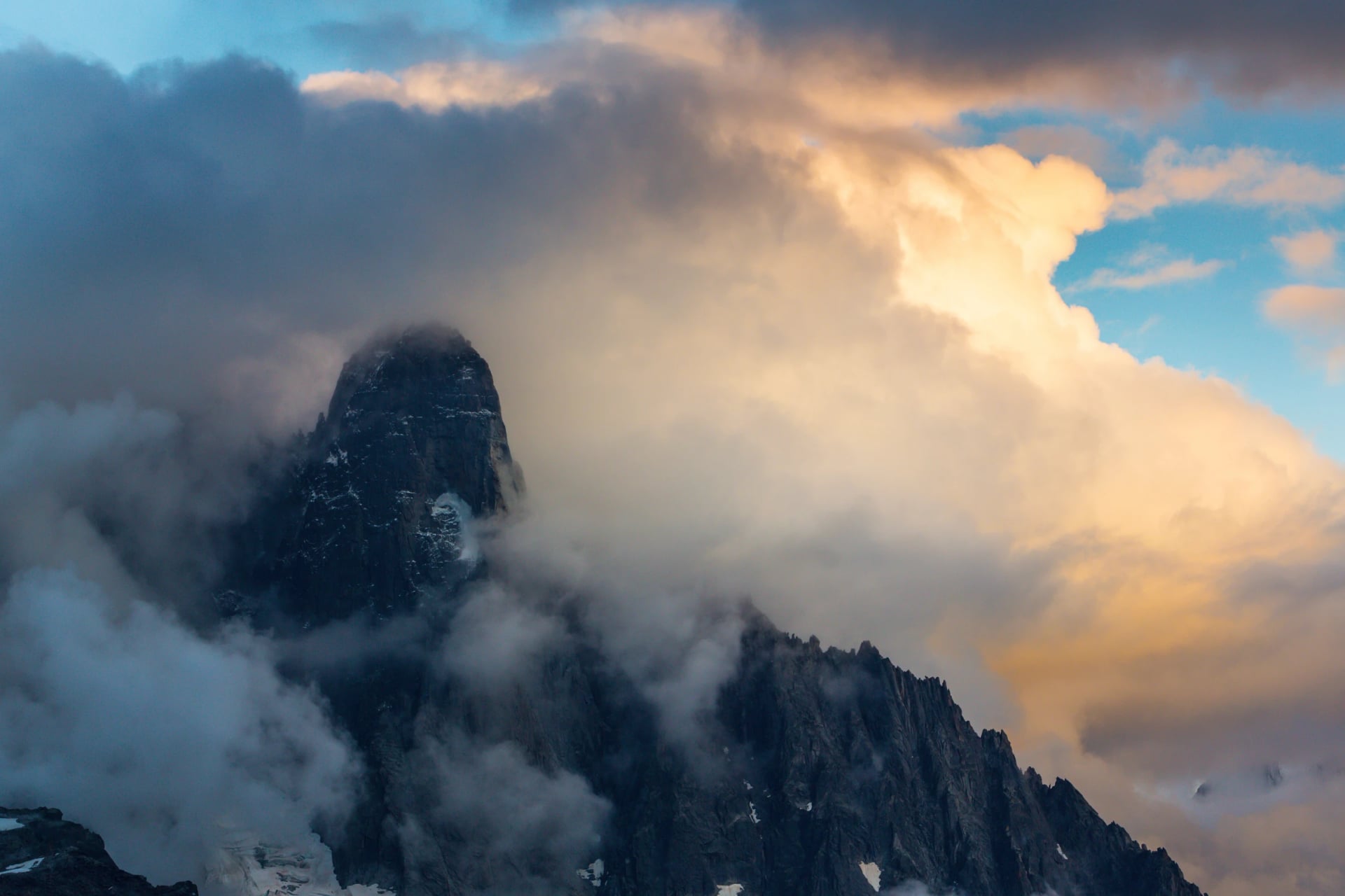
Valley temperatures in peak season can hit +30°C, while the passes sit between 10–20°C and can feel much colder in wind. Cold fronts can bring rain and even snow on the higher cols — always carry a waterproof layer regardless of the morning forecast.
Should you go self-guided or with a guide?
There are more ways to hike the TMB, and the right choice depends on how much planning you want to take on and how much support you want on the trail.
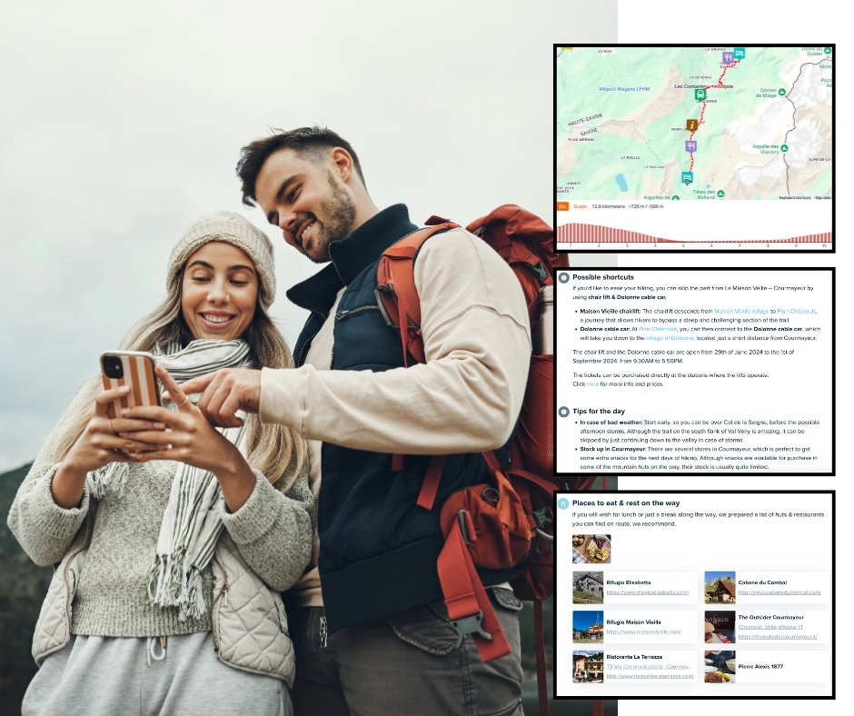
By yourself gives you full freedom but requires significant upfront planning. Route choices, individual refuge bookings, logistics, and backup options if something goes wrong. Start at least a year ahead.
Self-guided with an agency means the logistics are handled for you. Accommodation, transfers, luggage, and itinerary, while you still hike independently at your own pace. It's the most popular choice for a reason.
Browse our self-guided TMB tours to see what's included.
For a full breakdown of what self-guided, read our guide on hiking the TMB without a guide.
Guided is the right call if you're new to mountain hiking and want a professional leading the way and handling everything. Take a look at our guided TMB tour if that sounds like you.
How much does the Tour du Mont Blanc cost?
The total cost of hiking the Tour du Mont Blanc depends on a handful of key decisions: how many days you take, what kind of accommodation you choose, whether you book independently or through an agency, and how much you spend on food and extras along the way.
An important factor is also whether you go fully independent, self-guided with logistical support, or with a guide, each of which sits at a meaningfully different price point.
If you plan to do it all by yourself, it will take around 1000 € per person, depending on the above factors. Be aware that it means MUCH more time spent working on the plan by yourself.
If you choose to buy a self-guided version of TMB, the prices are from 1400€ per person.
But if you want to do it with a guide, the cost rises up towards 2000€ and more.
Accommodation is the biggest variable. Mountain refuges typically charge 40–70€ per person per night for a dorm bed, usually including dinner and breakfast (demi-pension). Private rooms, where available, run from 80–120€ per person. Budget hotels and gîtes in the valley towns sit somewhere in between. Over 11 nights, accommodation alone can range from roughly 440€ to 770€ on the lower end (dorms throughout) to significantly more if you mix in private rooms or hotel nights in Courmayeur or Chamonix.
Food beyond demi-pension adds up quickly. Lunches on the trail, typically a packed lunch from the refuge or a snack stop at a café, cost 10–20€ per day. Add snacks, energy bars, and the occasional coffee or beer at a viewpoint, and a realistic daily food budget beyond your dinner and breakfast is around 15–25€.
Getting there and back is often underestimated. Flights to Geneva, the closest major airport to Chamonix, can range from under 100€ to several hundred euros depending on your origin and how far in advance you book. Transfers from Geneva Airport to Chamonix run 30–50€ per person by shared shuttle (services like Mont Blanc Express or Alpybus), or more by taxi.
How to Book the Tour du Mont Blanc
Booking the Tour du Mont Blanc is not like booking a city hotel. The refuge network operates on a seasonal calendar, demand far outstrips supply at peak time, and a single missing booking can unravel an otherwise well-planned trip. The earlier you start, the better your options.
When booking opens
Most mountain refuges on the TMB open their reservations for the following summer in January or February. The most popular huts fill their dorms within days of the booking window opening. For July or August dates, having your full accommodation confirmed by February or March is realistic.
How to book independently
Each refuge takes reservations directly, typically by phone or through their own booking portal. You will need to contact them individually, and most require a deposit often payable by bank transfer rather than card. Language is rarely a barrier (most refuges can handle basic English enquiries) but response times vary.
How to book with an agency
A self-guided operator handles all refuge reservations on your behalf, often months before the booking windows open because they hold pre-allocated beds. This is the practical reason most people choose the self-guided route through an agency.
What to do if you can't get a specific refuge
The TMB has enough accommodation options per stage that an alternative is almost always available, a hotel in the valley, a different hut a few kilometres away, or a gîte that doesn't appear in guidebooks. The important thing is that a gap in your bookings is flagged and solved before you leave home. Our TMB refuges guide covers every accommodation option stage by stage, with direct links and what to expect.
How to get to the starting point?
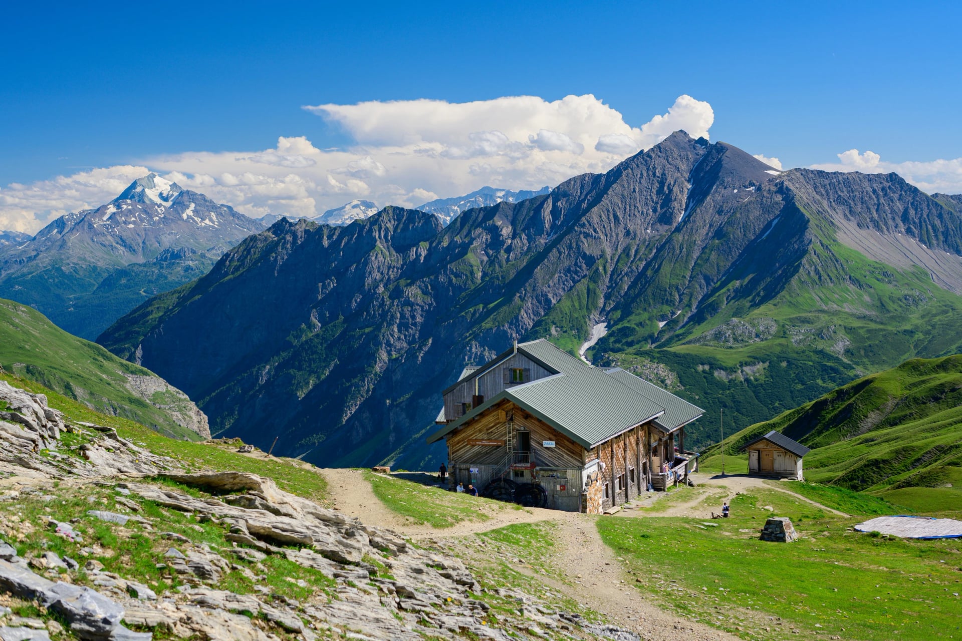
If you are like most TMB hikers, you will start the hike in Les Houches, just above Chamonix. You can also start the hike in any of the other towns on the way, like Courmayeur, Les Contamines, or Champex.
If you want to get to Chamonix, you can get there by plane, car or by bus.
By Plane: The closest airport is the Geneva Airport in Switzerland. From there, you can get to the Cham by train, bus or shuttle.
By Car: It’s easy to get Chamonix from anywhere by a car, especially if you’re in France, northern Italy or Switzerland.
By Train: There is a train station in the center of Chamonix, so you can get there with any international connection. They take much longer than other options, but are the most scenic and most environmentally friendly.
By Bus: Buses are cheaper than trains and usually less transfers between different buses. But on the other hand, they take the most time and are the least comfortable.
Everything you need to know about getting to the trailhead and where to start your journey is in our TMB starting point guide.
How to plan your Tour du Mont Blanc hike?
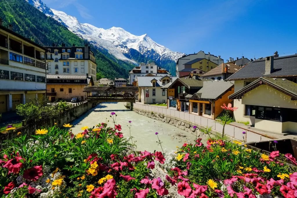
Planning a trip around the Tour du Mont Blanc takes a lot of time since it’s a multi-day hiking tour. And with many days come many options for routes, accommodations, and more.
The main reason you should start very early is that the accommodations tend to get full quite quickly. You should have your list at least half a year in advance.
And for that, you need to start planning soon — a year before.
Let’s see what are the most important steps.
Choosing the right itinerary
First thing you need to do is determine your itinerary. That starts with choosing if you’re going to do the whole trail or just a section of it.
That depends mostly on the number of days you have. It can go down to 5, depending on how fast and experienced a hiker you are, but to fully experience the route, you should do it in 11 days.
If you don’t have that much time, you can choose to only hike a specific section — for example, the highlights of Tour du Mont Blanc.
Tour du Mont Blanc Accommodations
Since the hike is one of the most (if not the most) popular in Europe, there have been many accommodation options springing up across the whole route.
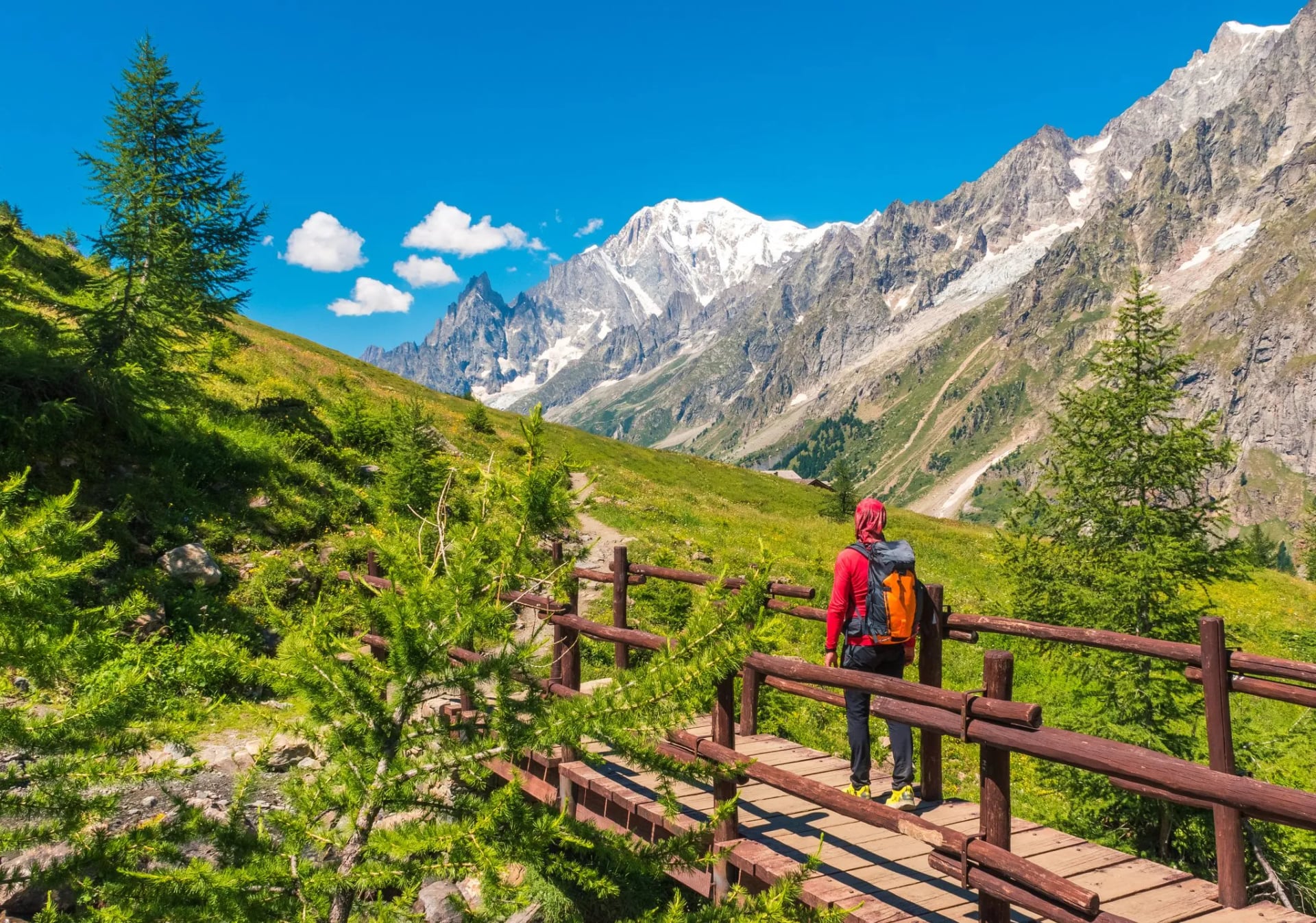
The most popular option for most hikers are the mountain huts (called refuges), usually situated on mountain slopes or cols (mountain passes). They are the best choice if you want to really experience the authentic and romantic vibe of sleeping in the mountains. Click here to learn more about TMB refuges.
But besides the huts, the valleys are full of different types of accommodations — from small family-run inns to boutique hotels. Staying in the valley really provides you with a lot of options to choose from.
Although it’s not possible to avoid staying in mountain refuges if you trek the entire Tour du Mont Blanc, we offer shorter versions of the trek that allow you to experience the trail in comfort. For those seeking an elevated experience, we also provide luxury tours, combining select sections of the route with high-end accommodations in the valleys.
Regardless of your choice in accommodation, you still need to book your accommodations early!
Food and Water
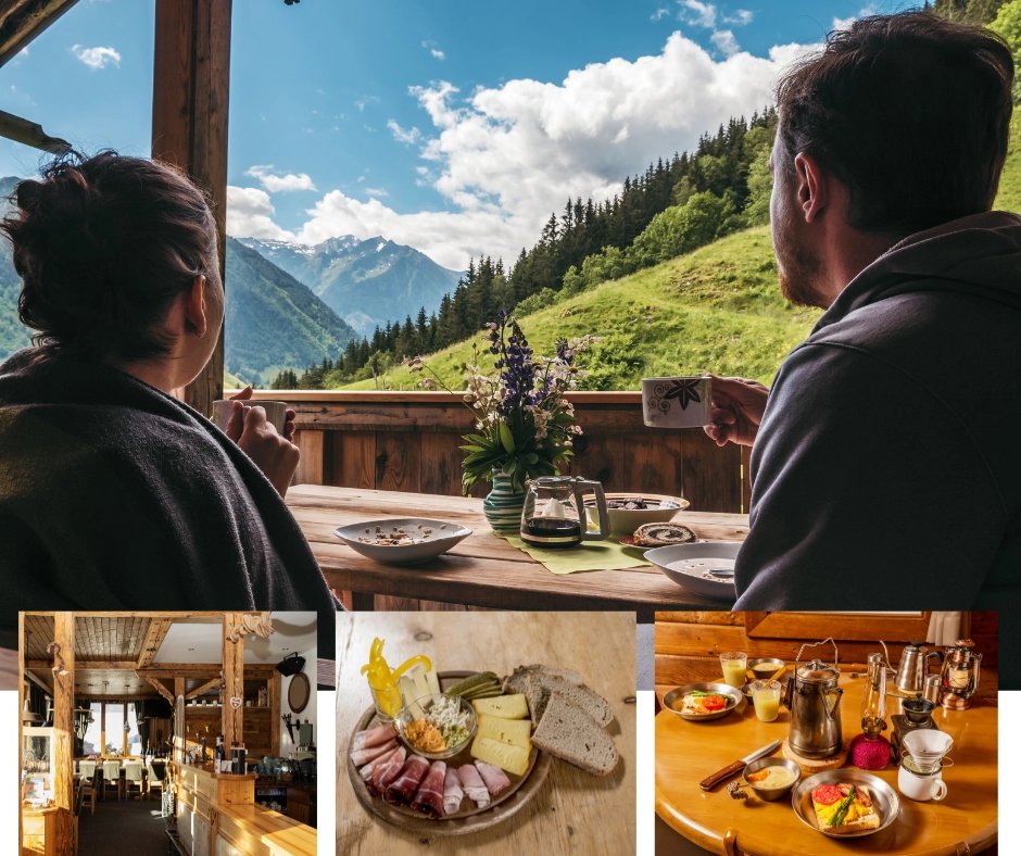
The Tour du Mont Blanc will lead you through regions known for their cuisine, where you’ll have the opportunity to try many local dishes and experience unique tastes. Because the trail never takes you too far from civilization, there’ll always be a refuge, a town, or a village on the way where you can have a meal.
There are plenty of good options to choose from in the valley, especially the towns. But what about the refuges?
The breakfasts are not that special, as they are usually pretty bland and small. You get some bread and various spreads to put on, like jam and butter. Depending on the hut, some also have cereal, yogurt, cheese, and fruit.
On the other hand, lunches and dinners are usually 3-course meals with excellent food. What you need to worry about with them is that you eat too much at lunchtime and then cannot continue the hike because of feeling all tired and sluggish.
Use the opportunity when passing towns to buy snacks and energy bars for the way between the accommodations.
Water is readily available in hotels and huts, so you can fill it up at each of the stops. You can also buy bottled water or fill it in some of the creeks you’ll find on the trail.
But if you decide to do the latter, first find the sign that says “eau potable” next to it. If it says “eau non-potable” it means that it is not drinkable.
How to prepare for Tour du Mont Blanc?
As we mentioned before, the Tour du Mont Blanc cannot be tackled straight from the couch. Even if you do it very slowly, you’ll still need to be ready for many straight days of hiking with a relatively heavy backpack.
By the time you get on the trail, you need to be someone who can call themselves a hiker. That means you should be able to do a 10+ km hike with 1000 meters of up and down easily. Why? You definitely don’t want to feel tired on the second day of your Tour du Mont Blanc.
So … How do you prepare for this? You need to start training.
How to train?
We’re not sports experts here. But what we know comes from our experience with long-distance hiking. If you do not do the same types of hikes before starting the big adventure, you’ll suffer more when it gets to it. And that means a less pleasant experience.
Why spend all that time struggling to manage to the next refuge, if you can be happy and enjoy the epic scenery?
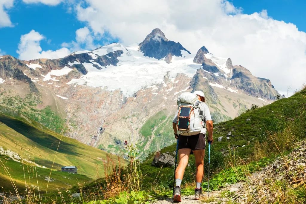
You need to start hiking weekly. That doesn’t mean you should jumpstart with very long hikes at first, especially if you haven’t been hiking much before. You should start slow, building up the distance and elevation gain each week.
Towards the end, you should also incorporate some two-day hikes (or more) during the weekend, to get your body used to hike multiple days in a row.
Even if you don’t have hiking trails as long or hills as high close to your home you can do it. Just do multiple circles around your local trail.
When you go on these training hikes, take the backpack you’re going to use on TMB and fill it up. It will help you figure out the right way to pack and get your back used to the weight. Put on your hiking shoes too (especially if you will have boots), so you can wear them before TMB.
For an in-depth look at exactly how to structure your preparation, read our full TMB training plan.
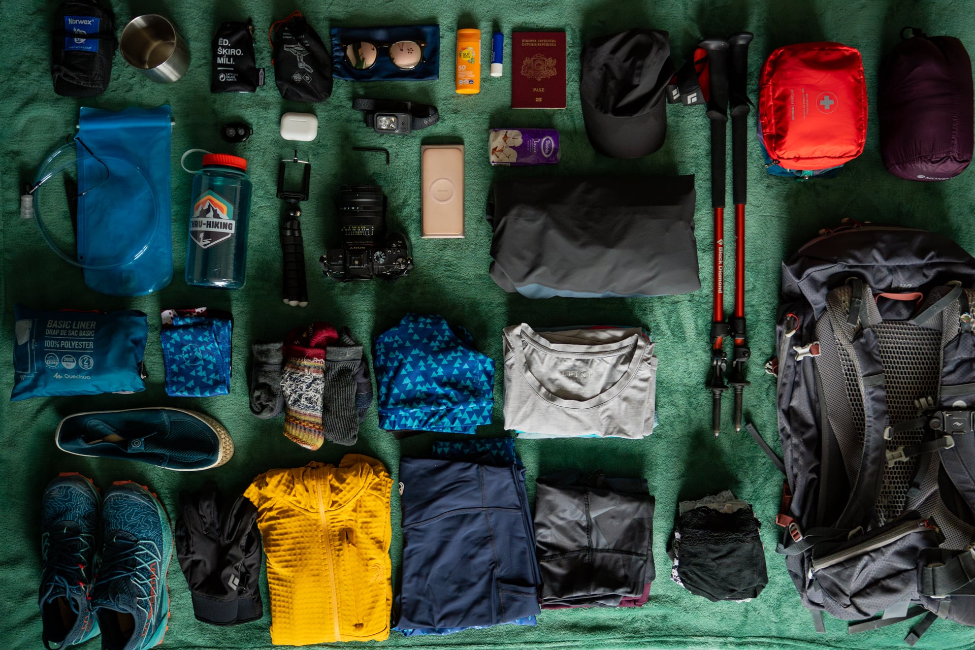
What to Pack?
Keep your pack light. Every extra kilo adds up over 11 days. A 25–45 litre backpack is the right size; anything bigger and you'll inevitably fill it.
Shoes are the most important decision. Trail runners work for experienced mountain hikers, but for most people hiking shoes are the right call. Sturdy enough to handle the terrain and the pack weight, without the bulk of full boots. Whatever you choose, make sure they're well broken in before you start.
The essentials:
Hiking shoes or boots + hiking poles
Base layer (merino wool recommended), mid layer, waterproof jacket and pants
Hiking shorts and long pants, warm hat, gloves, sun cap
Sunglasses, sunscreen, water bottle, first aid kit, blister plasters
Evening clothes for the refuges, toiletries, ID/passport, cash
For detailed gear recommendations, what to leave at home, and a checklist, see our full TMB packing list.
12 essential tips for the Tour du Mont Blanc hike
1. It’s important to be mindful of your personal limits and avoid pushing yourself too hard, as this can lead to unnecessary risks and potential harm.
2. Sticking to marked trails is essential to prevent accidents and ensure you don’t get lost, as deviating from the path can lead to dangerous situations.
3. Taking regular breaks during your hike allows you to rest and rejuvenate while also giving you the opportunity to fully appreciate and enjoy the beautiful scenery around you.
4. Informing someone about your plans and location is a crucial safety measure, as it ensures that someone knows where you are in case of an emergency.
5. When staying at accommodations, it’s polite to use designated areas for storing outdoor gear, such as boots and poles, to keep communal spaces tidy and organized.
6. Earplugs can be a useful addition when in shared sleeping quarters, as they help to minimize noise and ensure a good night’s sleep.
7. Many accommodations offer shower facilities, but it’s necessary to be mindful of time and water usage, especially during peak times when others may be waiting to use the facilities.
8. Preparing your own meals or bringing outside food into accommodations is typically frowned upon, so it’s best to avoid eating your own meals in refuges.
9. Being aware of your surroundings and yielding to others on the trail, such as bikers, runners, or faster walkers, ensures a smooth flow and positive experience for everyone.
10. A simple greeting, such as “Bonjour,” can go a long way in fostering a sense of community among hikers and creating a friendly and welcoming atmosphere on the trail.
11. When listening to music, it’s considerate to use headphones to avoid disturbing others and ensure everyone can enjoy the natural sounds of the outdoors.
12. Respecting nature is crucial, which means leaving no trace behind and minimizing disturbances to the environment. Activities that may harm ecosystems, such as swimming in lakes, should be avoided.
Where to book your Tour du Mont Blanc hiking tour?
The above guide is long and thorough. But that doesn’t have to intimidate you from going on your Tour du Mont Blanc.
Booking a self-guided Tour du Mont Blanc can save you a lot of time, stress, and hassle. And it’s not even that much more expensive than planning the tour all by yourself.
Check out our Tour du Mont Blanc treks, select your favorite, send us an inquiry and start counting the days till your epic adventure.
Don’t know where to start? Book a free consultation and let’s chat!



Plan with a hiking expert
Free advice from a team that knows these routes inside out - real people, not a bot

Hassle-Free
We handle itineraries, accommodations, and anything else you prefer not to deal with, so you can enjoy a carefree hike.

Book with confidence
We are a financially protected company, fully bonded and insured, keeping your money safe and allowing you to travel with confidence.

Tried & Tested Adventures
Only the best adventures on the TMB, cherry-picked by our local team with an in-depth knowledge of the region.

Unbeatable support
Our 24/7 customer support is where we show our passion, bringing you a better experience by making your well-being our number one priority.